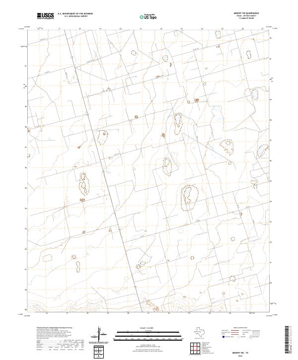
2022 Map of Midkiff SW
USGS Topo · Published 2022About this map
The high plains of Upton County are defined here by a systematic grid of ranch roads and thoroughfares that support the region's energy and agricultural activities. This 2022 survey shows a landscape organized around Fm 2401 and State Highway 349, which provide the primary north-south and east-west movement through the territory. The map details a dense network of secondary routes including Co Rd 114, Co Rd 116, and Co Rd 120-A, reflecting the intensive land use common in West Texas oil fields and cattle country. While the terrain is relatively uniform, the placement of specialized corridors like Cotton Ln and various county roads such as Co Rd 121 and Co Rd 118w reveals the precise parceling of the land.
Find a feature on this map
13 named features on this map. Tap any name to fly to it.
Don’t see what you’re looking for? This feature index may not catch every label — zoom into the map to look around manually.
Map Details
Editions of this 2022 Midkiff SW Map
This is the sole edition of this map. No revisions or reprints were ever made.
Other maps of this area

1928 · Crane
USGS Topo · 1:125,000

1928 · Rankin
USGS Topo · 1:125,000

1954 · Pecos
USGS Topo · 1:250,000

1954 · San Angelo
USGS Topo · 1:250,000

1957 · Pecos
USGS Topo · 1:250,000

1958 · San Angelo
USGS Topo · 1:250,000

1965 · San Angelo
USGS Topo · 1:250,000

1967 · Midkiff
USGS Topo · 1:24,000

1968 · Benge Corner SE
USGS Topo · 1:24,000

1968 · Midkiff NW
USGS Topo · 1:24,000