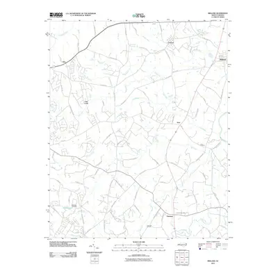
2010 Map of Midland
USGS Topo · Published 2010About this map
Cockburns Post Office serves as a distinct landmark in the southeastern corner of this study, positioned near the intersection of several local routes. The landscape is defined by the winding paths of Clear Creek and Goose Creek, which drain toward the Rocky River on the eastern edge. Small communities and rural settlements like Midland, Allen, and Brief are connected by a network of historic roads such as Pioneer Mill Rd and Cabarrus Station Rd, reflecting a settlement pattern built around agricultural transit and local hubs.
Find a feature on this map
83 named features on this map. Tap any name to fly to it.
Don’t see what you’re looking for? This feature index may not catch every label — zoom into the map to look around manually.
Map Details
Editions of this 2010 Midland Map
This is the sole edition of this map. No revisions or reprints were ever made.
Other maps of this area

1941 · Charlotte
USGS Topo · 1:125,000

1942 · Charlotte
USGS Topo · 1:125,000

1949 · Harrisburg
USGS Topo · 1:24,000

1949 · Wilgrove
USGS Topo · 1:24,000

1949 · Midland
USGS Topo · 1:24,000

1949 · Concord SE
USGS Topo · 1:24,000

1953 · Charlotte
USGS Topo · 1:250,000

1954 · Charlotte
USGS Topo · 1:250,000

1957 · Mount Pleasant
USGS Topo · 1:62,500

1960 · Charlotte
USGS Topo · 1:250,000