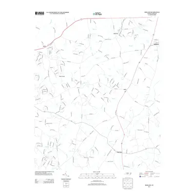
2013 Map of Midland
USGS Topo · Published 2013About this map
Midland and its surrounding communities in the eastern Piedmont are defined by a network of creeks and legacy farm roads that have transitioned into a modern suburban-rural mix. The landscape is carved by substantial water bodies including Muddy Cr and Goose Cr, which flow through a region where small settlements like Brief and Allen anchor the local geography. The map reveals the persistent influence of early landholding patterns, seen in the winding courses of routes such as Bethel School Rd and Biggers Cemetary Rd.
Find a feature on this map
202 named features on this map. Tap any name to fly to it.
Don’t see what you’re looking for? This feature index may not catch every label — zoom into the map to look around manually.
Map Details
Editions of this 2013 Midland Map
This is the sole edition of this map. No revisions or reprints were ever made.
Other maps of this area

1941 · Charlotte
USGS Topo · 1:125,000

1942 · Charlotte
USGS Topo · 1:125,000

1949 · Harrisburg
USGS Topo · 1:24,000

1949 · Wilgrove
USGS Topo · 1:24,000

1949 · Midland
USGS Topo · 1:24,000

1949 · Concord SE
USGS Topo · 1:24,000

1953 · Charlotte
USGS Topo · 1:250,000

1954 · Charlotte
USGS Topo · 1:250,000

1957 · Mount Pleasant
USGS Topo · 1:62,500

1960 · Charlotte
USGS Topo · 1:250,000