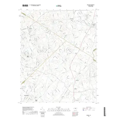
2019 Map of Midland
USGS Topo · Published 2019About this map
Mint Hill and the surrounding rural-suburban interface east of Charlotte are documented here during a period of steady residential growth. The landscape is defined by the convergence of several county boundaries, including Mecklenburg, Cabarrus, Union, and Stanly, which intersect near small crossroads communities like Brief and Fairview. Genealogists will find significant value in the high density of burial grounds, such as Dulins Grove Advent Christian Church Cem and Bethlehem Presbyterian Church Cem, many of which are associated with longstanding local congregations. The drainage patterns of Clear Cr and Goose Creek continue to shape the development of neighborhoods like Stallings and Hemby Bridge, where new residential streets such as Powder Magazine Loop and Hill Pine Rd branch off from established rural routes.
Find a feature on this map
199 named features on this map. Tap any name to fly to it.
Don’t see what you’re looking for? This feature index may not catch every label — zoom into the map to look around manually.
Map Details
Editions of this 2019 Midland Map
This is the sole edition of this map. No revisions or reprints were ever made.
Other maps of this area

1941 · Charlotte
USGS Topo · 1:125,000

1942 · Charlotte
USGS Topo · 1:125,000

1949 · Harrisburg
USGS Topo · 1:24,000

1949 · Wilgrove
USGS Topo · 1:24,000

1949 · Midland
USGS Topo · 1:24,000

1949 · Concord SE
USGS Topo · 1:24,000

1953 · Charlotte
USGS Topo · 1:250,000

1954 · Charlotte
USGS Topo · 1:250,000

1957 · Mount Pleasant
USGS Topo · 1:62,500

1960 · Charlotte
USGS Topo · 1:250,000