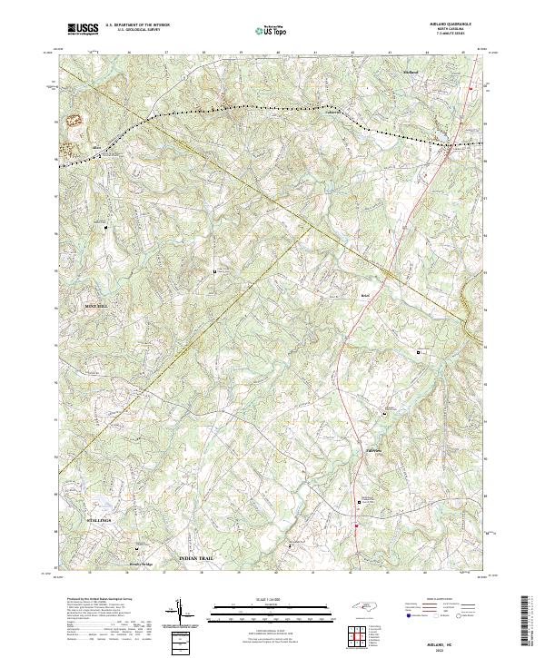
2022 Map of Midland
USGS Topo · Published 2022About this map
Midland and the surrounding Piedmont landscape are defined by a complex network of creeks and small-town settlements at the intersection of several county lines. The area is characterized by numerous churchyards and community burial grounds, such as Bethlehem Presbyterian Church Cem and Hopewell Church Cem, which serve as focal points for the rural residential growth extending from Mint Hill and Fairview. The drainage patterns of Goose Creek and Clear Cr dictate the winding paths of local thoroughfares like Albemarle Rd and Brief Rd.
Find a feature on this map
208 named features on this map. Tap any name to fly to it.
Don’t see what you’re looking for? This feature index may not catch every label — zoom into the map to look around manually.
Map Details
Editions of this 2022 Midland Map
This is the sole edition of this map. No revisions or reprints were ever made.
Historical Maps of Allen Through Time
4 maps found