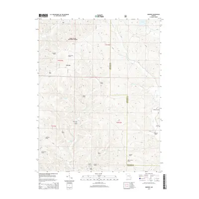
2015 Map of Midridge
USGS Topo · Published 2015About this map
The Mark Twain National Forest dominates this section of the Ozark Highlands, where the borders of Shannon and Reynolds Counties meet. The landscape is defined by a dense network of hollows and ridges, including Polk Ridge and Cedar Point, carved by numerous waterways like Blair Cr and Logan Cr. The small community of Midridge and the uniquely named Rat stand as central points of reference in an area primarily characterized by its drainage systems and natural springs, such as Laxton Spring and McIntire Spring.
Find a feature on this map
54 named features on this map. Tap any name to fly to it.
Don’t see what you’re looking for? This feature index may not catch every label — zoom into the map to look around manually.
Map Details
Editions of this 2015 Midridge Map
This is the sole edition of this map. No revisions or reprints were ever made.
Other maps of this area

1915 · Eminence
USGS Topo · 1:62,500

1917 · Eminence
USGS Topo · 1:62,500

1928 · Cardareva
USGS Topo · 1:62,500

1944 · Corridon
USGS Topo · 1:62,500

1945 · Round Spring
USGS Topo · 1:62,500

1947 · Sinkin
USGS Topo · 1:48,000

1947 · Corridon
USGS Topo · 1:62,500

1949 · Round Spring
USGS Topo · 1:62,500

1949 · Rolla
USGS Topo · 1:250,000

1949 · Cardareva
USGS Topo · 1:62,500