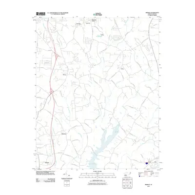
2011 Map of Midway
USGS Topo · Published 2011About this map
Lake Tom-A-Lex serves as a central hydrological feature for this Piedmont landscape south of Winston-Salem, capturing the drainage of Abbotts Creek and Brushy Fork. The terrain is defined by a dense network of secondary roads and established residential clusters such as Midway, Bethesda, and Ebenezer. These settlements reflect the post-war suburbanization of Forsyth and Davidson counties, where former agricultural lands transitioned into communities like The Oaks and Ridgeview Acres. Local history is anchored by Bethany Cemetery and the various branches feeding into Rich Fork, tracing the natural paths of the region's development. Smaller water bodies like Snyders Lake and named drainages such as Oil Mill Branch and Little Brushy Fork provide fine-grained detail for property researchers and genealogists tracing family lands in this part of North Carolina.
Find a feature on this map
87 named features on this map. Tap any name to fly to it.
Don’t see what you’re looking for? This feature index may not catch every label — zoom into the map to look around manually.
Map Details
Editions of this 2011 Midway Map
This is the sole edition of this map. No revisions or reprints were ever made.
Other maps of this area

1949 · Eller
USGS Topo · 1:24,000

1949 · High Point West
USGS Topo · 1:24,000

1950 · Winston-Salem West
USGS Topo · 1:24,000

1950 · Lexington East
USGS Topo · 1:24,000

1950 · Winston-Salem East
USGS Topo · 1:24,000

1950 · Lexington West
USGS Topo · 1:24,000

1951 · Winston-Salem West
USGS Topo · 1:24,000

1951 · Winston-Salem East
USGS Topo · 1:24,000

1951 · Lexington East
USGS Topo · 1:24,000

1951 · Lexington West
USGS Topo · 1:24,000