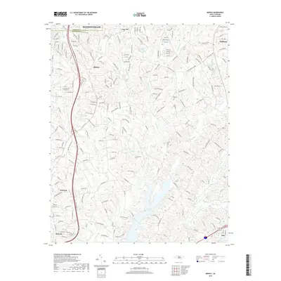
2019 Map of Midway
USGS Topo · Published 2019About this map
Midway and its neighboring communities sit along the divide between Forsyth and Davidson counties, south of Winston-Salem. This landscape is defined by the headwaters of the Yadkin River basin, where numerous small waterways like Tinkers Cr, Brushy Fork, and Abbotts Cr carve through the terrain. The central feature of the southern quadrant is Lake Tom-A-Lex, a significant reservoir on Abbotts Cr that serves as a focal point for the surrounding rural residential development.
Find a feature on this map
32 named features on this map. Tap any name to fly to it.
Don’t see what you’re looking for? This feature index may not catch every label — zoom into the map to look around manually.
Map Details
Editions of this 2019 Midway Map
This is the sole edition of this map. No revisions or reprints were ever made.
Other maps of this area

1949 · Eller
USGS Topo · 1:24,000

1949 · High Point West
USGS Topo · 1:24,000

1950 · Winston-Salem West
USGS Topo · 1:24,000

1950 · Lexington East
USGS Topo · 1:24,000

1950 · Winston-Salem East
USGS Topo · 1:24,000

1950 · Lexington West
USGS Topo · 1:24,000

1951 · Winston-Salem West
USGS Topo · 1:24,000

1951 · Winston-Salem East
USGS Topo · 1:24,000

1951 · Lexington East
USGS Topo · 1:24,000

1951 · Lexington West
USGS Topo · 1:24,000