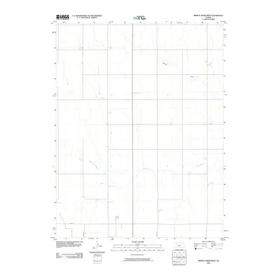
2009 Map of Midway Draw West
USGS Topo · Published 2009About this map
The Saline River cuts through this portion of western Kansas, defining the hydrologic character of the landscape in Gove County. This 2009 survey illustrates a predominantly rural and open terrain, where local travel is facilitated by a grid of county roads such as Gove 46, Gove 52, and the southern boundary road Gove EE. The drainage patterns are clearly marked by several tributaries, including the namesake Midway and Draw features in the north, while Spring Brook Creek feeds into the river from the west. The map reflects the enduring agricultural layout of the High Plains, showing how the section-line road system navigates around the natural meandering of the river valley.
Find a feature on this map
7 named features on this map. Tap any name to fly to it.
Don’t see what you’re looking for? This feature index may not catch every label — zoom into the map to look around manually.
Map Details
Editions of this 2009 Midway Draw West Map
This is the sole edition of this map. No revisions or reprints were ever made.
Other maps of this area

1954 · Goodland
USGS Topo · 1:250,000

1956 · Goodland
USGS Topo · 1:250,000

1957 · Goodland
USGS Topo · 1:250,000

1979 · Park
USGS Topo · 1:24,000

1979 · Midway Draw West
USGS Topo · 1:24,000

1979 · Midway Draw East
USGS Topo · 1:24,000
1979 · Grainfield
USGS Topo · 1:24,000

1979 · Hoxie
USGS Topo · 1:24,000

1979 · Grinnell NE
USGS Topo · 1:24,000
1979 · Sunny Slope Lake
USGS Topo · 1:24,000