
2015 Map of Midway Draw West
USGS Topo · Published 2015About this map
The Saline River meanders across the southern landscape of this Gove County quadrangle, carving a distinct valley through the High Plains. North of the river, the intermittent drainage of Midway Draw and the course of Spring Brook Cr define the local topography, which is otherwise dominated by a rigid, mile-by-mile section line grid. This late-stage 2015 survey illustrates a land strictly organized by the Public Land Survey System, where modern infrastructure adheres to established township and range lines such as t10s r28w. The intersection of Sheridan Co and Gove Co at the southern boundary provides a clear look at the administrative divisions and road networks, including Gove EE and Rd 160 S, that facilitate the agricultural economy of this Western Kansas region.
Find a feature on this map
28 named features on this map. Tap any name to fly to it.
Don’t see what you’re looking for? This feature index may not catch every label — zoom into the map to look around manually.
Map Details
Editions of this 2015 Midway Draw West Map
This is the sole edition of this map. No revisions or reprints were ever made.
Other maps of this area

1954 · Goodland
USGS Topo · 1:250,000

1956 · Goodland
USGS Topo · 1:250,000

1957 · Goodland
USGS Topo · 1:250,000

1979 · Park
USGS Topo · 1:24,000

1979 · Midway Draw West
USGS Topo · 1:24,000

1979 · Midway Draw East
USGS Topo · 1:24,000
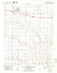
1979 · Grainfield
USGS Topo · 1:24,000

1979 · Hoxie
USGS Topo · 1:24,000

1979 · Grinnell NE
USGS Topo · 1:24,000
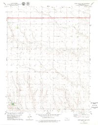
1979 · Sunny Slope Lake
USGS Topo · 1:24,000