
1979 Map of Midway Draw West
USGS Topo · Published 1979About this map
The Saline River winds through the southern reaches of this High Plains landscape, marking the transition between the rolling uplands of Midway Draw and the more varied relief near the border of Sheridan and Gove Counties. Mapping during the mid-1970s reveals a sparse, water-driven geography where ephemeral drainage systems like Spring Brook and Spring Brook Creek shape the terrain. Industrial activity is concentrated along the riverbanks, evidenced by several Sandpits and a Sandpit located near the southern bends.
Find a feature on this map
12 named features on this map. Tap any name to fly to it.
Don’t see what you’re looking for? This feature index may not catch every label — zoom into the map to look around manually.
Map Details
Editions of this 1979 Midway Draw West Map
This is the sole edition of this map. No revisions or reprints were ever made.
Other maps of this area

1954 · Goodland
USGS Topo · 1:250,000

1956 · Goodland
USGS Topo · 1:250,000

1957 · Goodland
USGS Topo · 1:250,000

1979 · Park
USGS Topo · 1:24,000

1979 · Midway Draw East
USGS Topo · 1:24,000
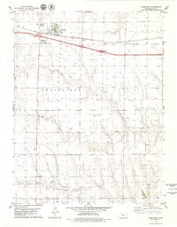
1979 · Grainfield
USGS Topo · 1:24,000

1979 · Hoxie
USGS Topo · 1:24,000

1979 · Grinnell NE
USGS Topo · 1:24,000
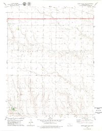
1979 · Sunny Slope Lake
USGS Topo · 1:24,000

1979 · Tasco
USGS Topo · 1:24,000