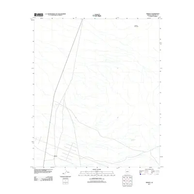
2011 Map of Midway
USGS Topo · Published 2011About this map
Midway occupies a desert expanse in Maricopa County, defined by a sparse network of roads and essential water sources characteristic of the arid Southwest. This 2011 survey illustrates the intersection of modern transportation and rugged topography, where State Route 85 cuts a straight path through the landscape. The terrain rises significantly in the northeast toward the summit of Lookout Mountain, providing a stark contrast to the surrounding plains. Human presence here is tied to strategic infrastructure, with features like Thanksgiving Day Tank highlighting the critical importance of water management in this environment. The map captures a moment when traditional land use for ranching and transit persists alongside modern topographical mapping standards.
Find a feature on this map
4 named features on this map. Tap any name to fly to it.
Don’t see what you’re looking for? This feature index may not catch every label — zoom into the map to look around manually.
Map Details
Editions of this 2011 Midway Map
This is the sole edition of this map. No revisions or reprints were ever made.
Other maps of this area

1950 · Theba
USGS Topo · 1:62,500

1951 · Gila Bend
USGS Topo · 1:62,500

1951 · Theba
USGS Topo · 1:62,500

1953 · Ajo
USGS Topo · 1:250,000

1957 · Ajo
USGS Topo · 1:250,000

1958 · Ajo
USGS Topo · 1:250,000

1958 · Midway
USGS Topo · 1:62,500

1958 · Hat Mountain
USGS Topo · 1:62,500

1962 · Ajo
USGS Topo · 1:250,000

1963 · Ajo
USGS Topo · 1:250,000