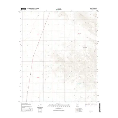
2014 Map of Midway
USGS Topo · Published 2014About this map
Midway occupies a key position in the desert landscape of Maricopa County, situated along the route of Az-85. The terrain is defined by the high elevations of the Sauceda Mountains, where features like Lookout Mtn dominate the horizon. In this arid environment, water management is evident through features such as Thanksgiving Day Tank, which suggests the necessity of infrastructure for livestock or local water needs. The map layout follows the Public Land Survey System, clearly delineating township and range lines like t8s r6w and t9s r5w. This 2014 survey documents the remote character of the region, where transportation through the corridor of Az-85 serves as the primary link between isolated settlements and the broader Arizona road network.
Find a feature on this map
9 named features on this map. Tap any name to fly to it.
Don’t see what you’re looking for? This feature index may not catch every label — zoom into the map to look around manually.
Map Details
Editions of this 2014 Midway Map
This is the sole edition of this map. No revisions or reprints were ever made.
Other maps of this area

1950 · Theba
USGS Topo · 1:62,500

1951 · Gila Bend
USGS Topo · 1:62,500

1951 · Theba
USGS Topo · 1:62,500

1953 · Ajo
USGS Topo · 1:250,000

1957 · Ajo
USGS Topo · 1:250,000

1958 · Ajo
USGS Topo · 1:250,000

1958 · Midway
USGS Topo · 1:62,500

1958 · Hat Mountain
USGS Topo · 1:62,500

1962 · Ajo
USGS Topo · 1:250,000

1963 · Ajo
USGS Topo · 1:250,000