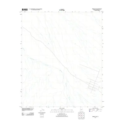
2011 Map of Midway NW
USGS Topo · Published 2011About this map
Midway Wash is the defining hydrological feature of this desert landscape in western Maricopa County. The terrain is characterized by a dense network of braided ephemeral channels and alluvial fans that converge into the primary wash, illustrating the complex drainage patterns of the Arizona desert. While the map is sparse in named settlements, it reveals a deliberate grid of local roads and unimproved tracks in the southeastern corner, signaling contemporary land divisions or desert development within the Midway Wash drainage area. This survey by the U.S. Geological Survey captures the quiet geometry of this arid region during the early 2010s, showing the intersection of natural watercourses and man-made infrastructure.
Find a feature on this map
1 named feature on this map. Tap any name to fly to it.
Don’t see what you’re looking for? This feature index may not catch every label — zoom into the map to look around manually.
Map Details
Editions of this 2011 Midway NW Map
This is the sole edition of this map. No revisions or reprints were ever made.
Other maps of this area

1949 · Sentinel
USGS Topo · 1:62,500

1950 · Sentinel
USGS Topo · 1:62,500

1950 · Theba
USGS Topo · 1:62,500

1951 · Theba
USGS Topo · 1:62,500

1953 · Ajo
USGS Topo · 1:250,000

1957 · Ajo
USGS Topo · 1:250,000

1958 · Ajo
USGS Topo · 1:250,000

1958 · Midway
USGS Topo · 1:62,500

1962 · Ajo
USGS Topo · 1:250,000

1963 · Ajo
USGS Topo · 1:250,000