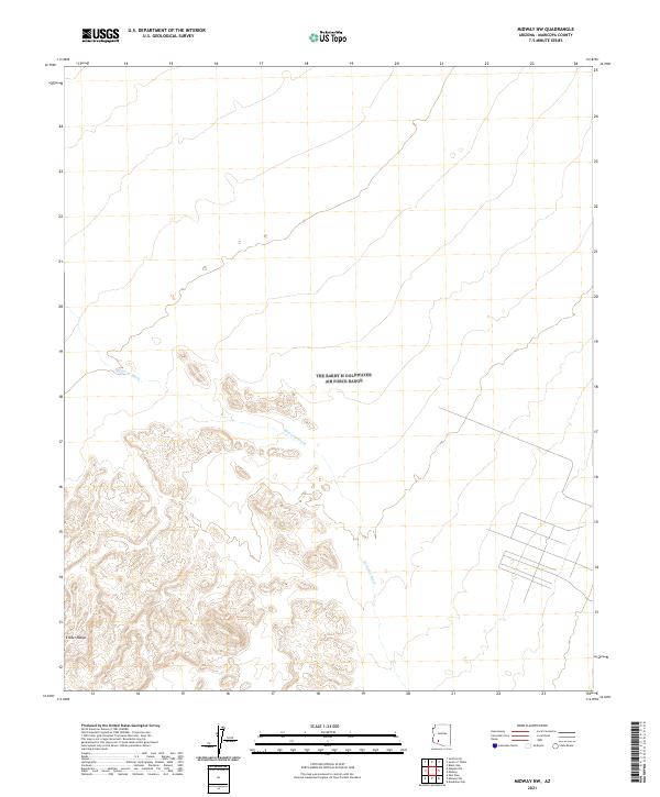
2021 Map of Midway NW
USGS Topo · Published 2021About this map
Midway Wash cuts a prominent path through this arid Maricopa County landscape, illustrating the drainage patterns of the desert southwest. The southern portion of the map is dominated by the complex topography of the Crater Range, where the elevation rises significantly above the surrounding plains. This 2021 survey utilizes data from the National Elevation Dataset and imagery from the National Agriculture Imagery Program to chart a section of Arizona defined more by its physical geography than by human settlement. While the terrain is largely open, the presence of a localized road network in the southeastern corner suggests specific land use or infrastructure in an area otherwise characterized by vast stretches of the Gila River Valley's hinterlands.
Find a feature on this map
6 named features on this map. Tap any name to fly to it.
Don’t see what you’re looking for? This feature index may not catch every label — zoom into the map to look around manually.
Map Details
Editions of this 2021 Midway NW Map
This is the sole edition of this map. No revisions or reprints were ever made.
Other maps of this area

1949 · Sentinel
USGS Topo · 1:62,500

1950 · Sentinel
USGS Topo · 1:62,500

1950 · Theba
USGS Topo · 1:62,500

1951 · Theba
USGS Topo · 1:62,500

1953 · Ajo
USGS Topo · 1:250,000

1957 · Ajo
USGS Topo · 1:250,000

1958 · Ajo
USGS Topo · 1:250,000

1958 · Midway
USGS Topo · 1:62,500

1962 · Ajo
USGS Topo · 1:250,000

1963 · Ajo
USGS Topo · 1:250,000