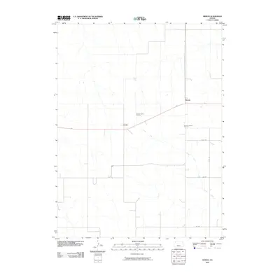
2009 Map of Midway
USGS Topo · Published 2009About this map
Midway serves as the central point for this section of Rawlins County, situated at a junction where the high plains are carved by the subtle drainage of Lambs Draw. This landscape preserves the spiritual and ancestral roots of the local community through three distinct religious burial grounds: the Swedish Baptist Cemetery, the Swedish Lutheran Cemetery, and the Covenant Cemetery. These sites reflect the early 20th-century ethnic and denominational settlement patterns common to Western Kansas. The map captures a transition period in the early 21st century where the grid of county roads, such as Co RD 36 and Co RD N, continues to define the agricultural organization of the land, connecting scattered homesteads to the small community hub and the natural contours of the draws.
Find a feature on this map
9 named features on this map. Tap any name to fly to it.
Don’t see what you’re looking for? This feature index may not catch every label — zoom into the map to look around manually.
Map Details
Editions of this 2009 Midway Map
This is the sole edition of this map. No revisions or reprints were ever made.
Other maps of this area

1951 · Selden
USGS Topo · 1:62,500

1951 · Herndon
USGS Topo · 1:62,500

1951 · Achilles
USGS Topo · 1:62,500

1951 · Oberlin
USGS Topo · 1:62,500

1954 · Goodland
USGS Topo · 1:250,000

1956 · Goodland
USGS Topo · 1:250,000

1957 · Goodland
USGS Topo · 1:250,000

1965 · Oberlin SW
USGS Topo · 1:24,000

1965 · Achilles
USGS Topo · 1:24,000

1965 · Selden NW
USGS Topo · 1:24,000