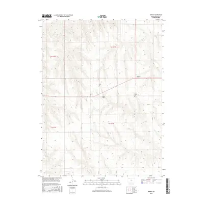
2015 Map of Midway
USGS Topo · Published 2015About this map
Midway stands at the heart of this Rawlins County survey, illustrating the persistence of rural communities in the High Plains. The landscape is defined by the shallow carving of Lambs Draw, a notable drainage feature that breaks the agricultural grid. This area preserves a significant record of Scandinavian heritage, evidenced by the presence of three distinct burying grounds: Swedish Baptist Cem, Swedish Lutheran Cem, and Covenant Cem. These sites reflect the early 20th-century settlement patterns where denominational ties anchored farming families to specific townships like T2s R31w and T3s R31w. The road network follows a strict sectional layout, with local routes such as Co RD Q.5 and RD P.5 providing access to the isolated farmsteads and historic church properties that define the local cultural geography.
Find a feature on this map
27 named features on this map. Tap any name to fly to it.
Don’t see what you’re looking for? This feature index may not catch every label — zoom into the map to look around manually.
Map Details
Editions of this 2015 Midway Map
This is the sole edition of this map. No revisions or reprints were ever made.
Other maps of this area

1951 · Selden
USGS Topo · 1:62,500

1951 · Herndon
USGS Topo · 1:62,500

1951 · Achilles
USGS Topo · 1:62,500

1951 · Oberlin
USGS Topo · 1:62,500

1954 · Goodland
USGS Topo · 1:250,000

1956 · Goodland
USGS Topo · 1:250,000

1957 · Goodland
USGS Topo · 1:250,000

1965 · Oberlin SW
USGS Topo · 1:24,000

1965 · Achilles
USGS Topo · 1:24,000

1965 · Selden NW
USGS Topo · 1:24,000