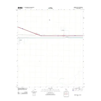
2012 Map of Midway Well
USGS Topo · Published 2012About this map
Evan Hewes Hwy cuts across this arid landscape, passing through the lonely settlement of Midway Well. The map highlights specialized agricultural and infrastructure sites including Experimental Farm Number One and Experimental Farm Number Two, alongside Power Drop Number Two, illustrating the intersection of modern utility and remote desert terrain. Much of the surrounding area is defined by the open expanse of East Mesa, where human presence is clustered tightly along the primary transportation corridor and its supporting irrigation or power works.
Find a feature on this map
6 named features on this map. Tap any name to fly to it.
Don’t see what you’re looking for? This feature index may not catch every label — zoom into the map to look around manually.
Map Details
Editions of this 2012 Midway Well Map
This is the sole edition of this map. No revisions or reprints were ever made.
Other maps of this area

1903 · Yuma
USGS Topo · 1:125,000

1905 · Yuma
USGS Topo · 1:125,000

1907 · Holtville
USGS Topo · 1:125,000

1942 · El Centro
USGS Topo · 1:250,000

1942 · Yuma
USGS Topo · 1:250,000

1953 · Grays Well
USGS Topo · 1:24,000

1953 · Ogilby
USGS Topo · 1:62,500

1953 · Cactus
USGS Topo · 1:24,000

1954 · El Centro
USGS Topo · 1:250,000

1954 · Midway Well NW
USGS Topo · 1:24,000