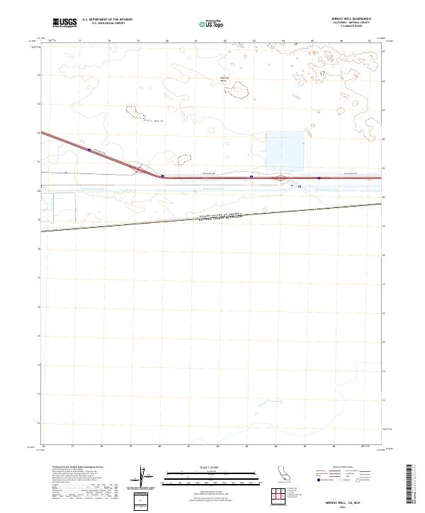
2021 Map of Midway Well
USGS Topo · Published 2021About this map
Imperial Valley and the vast desert terrain of East Mesa dominate this landscape along the international border. The map documents a critical point of water infrastructure where the All American Canal carries Colorado River water across the arid Imperial County desert. This engineered waterway runs parallel to the Evan Hewes Hwy, marking a stark transition between the open desert and the irrigated agricultural regions that lie to the west. At the southern edge of the sheet, the surveyed boundary between the United States of America and Mexico is clearly delineated, illustrating the geopolitical layout of this arid frontier.
Find a feature on this map
9 named features on this map. Tap any name to fly to it.
Don’t see what you’re looking for? This feature index may not catch every label — zoom into the map to look around manually.
Map Details
Editions of this 2021 Midway Well Map
This is the sole edition of this map. No revisions or reprints were ever made.
Other maps of this area

1903 · Yuma
USGS Topo · 1:125,000

1905 · Yuma
USGS Topo · 1:125,000

1907 · Holtville
USGS Topo · 1:125,000

1942 · El Centro
USGS Topo · 1:250,000

1942 · Yuma
USGS Topo · 1:250,000

1953 · Grays Well
USGS Topo · 1:24,000

1953 · Ogilby
USGS Topo · 1:62,500

1953 · Cactus
USGS Topo · 1:24,000

1954 · El Centro
USGS Topo · 1:250,000

1954 · Midway Well NW
USGS Topo · 1:24,000