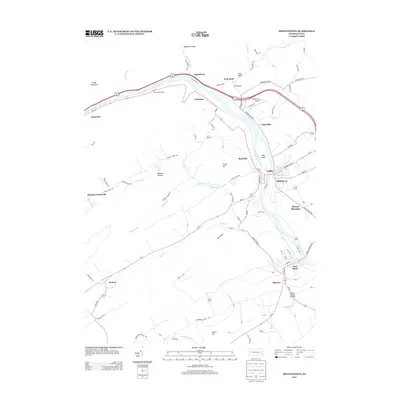
2013 Map of Mifflintown
USGS Topo · Published 2013About this map
The Juniata River carves a deep path through the Ridge-and-Valley Appalachians, serving as the central artery for transportation and settlement in this portion of central Pennsylvania. The twin boroughs of Mifflintown and Mifflin sit at a vital crossing point, flanked by smaller hamlets like Cuba Mills and Rockville. The river valley is hemmed in by the looming Shade Mountain, where the Hawstone Overlook provides a vantage point over the water gap near Hawstone.
Find a feature on this map
57 named features on this map. Tap any name to fly to it.
Don’t see what you’re looking for? This feature index may not catch every label — zoom into the map to look around manually.
Map Details
Editions of this 2013 Mifflintown Map
This is the sole edition of this map. No revisions or reprints were ever made.
Other maps of this area

1919 · Mattawana
USGS Topo · 1:62,500

1924 · Lewistown
USGS Topo · 1:62,500

1925 · Mifflintown
USGS Topo · 1:48,000

1927 · Lewisburg
USGS Topo · 1:62,500

1930 · Loysville
USGS Topo · 1:62,500

1933 · Loysville
USGS Topo · 1:62,500

1934 · Mifflintown
USGS Topo · 1:62,500

1936 · East Waterford
USGS Topo · 1:48,000

1937 · Mifflintown
USGS Topo · 1:62,500

1941 · East Waterford
USGS Topo · 1:62,500