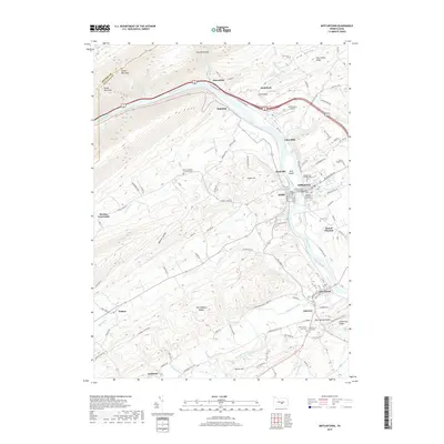
2019 Map of Mifflintown
USGS Topo · Published 2019About this map
The Juniata River carves a deep path through the ridge-and-valley landscape of Juniata County, where the sister boroughs of Mifflintown and Mifflin face each other across the water. As the county seat, Mifflintown is anchored by the Juniata County Courthouse and a collection of historic religious sites including the Westminster Presbyterian Cem and Messiah Lutheran Church Cem. The river's influence on transportation is evident in the alignment of the William Penn Hwy and the tight passage through the Lewiston Narrows.
Find a feature on this map
102 named features on this map. Tap any name to fly to it.
Don’t see what you’re looking for? This feature index may not catch every label — zoom into the map to look around manually.
Map Details
Editions of this 2019 Mifflintown Map
This is the sole edition of this map. No revisions or reprints were ever made.
Other maps of this area

1919 · Mattawana
USGS Topo · 1:62,500

1924 · Lewistown
USGS Topo · 1:62,500

1925 · Mifflintown
USGS Topo · 1:48,000

1927 · Lewisburg
USGS Topo · 1:62,500

1930 · Loysville
USGS Topo · 1:62,500

1933 · Loysville
USGS Topo · 1:62,500

1934 · Mifflintown
USGS Topo · 1:62,500

1936 · East Waterford
USGS Topo · 1:48,000

1937 · Mifflintown
USGS Topo · 1:62,500

1941 · East Waterford
USGS Topo · 1:62,500