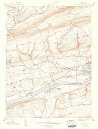
1947 Map of Mifflinville
USGS Topo · Published 1947About this map
The Susquehanna River cuts through the heart of this landscape, serving as the primary corridor for industry and transportation in the post-war era. Along its northern banks, the Delaware Lackawanna and Western railroad parallels the water, connecting the riverside community of Mifflinville with nearby industrial centers. Small agricultural and residential clusters like Lime Ridge, Fowlersville, and Martzville are scattered across the terrain, often centered around local institutions such as St Peters Ch and the Old Stone Ch.
Find a feature on this map
45 named features on this map. Tap any name to fly to it.
Don’t see what you’re looking for? This feature index may not catch every label — zoom into the map to look around manually.
Map Details
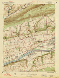
Editions of this 1947 Mifflinville Map
2 editions found
Other maps of this area

1889 · Catawissa
USGS Topo · 1:62,500

1892 · Catawissa
USGS Topo · 1:62,500

1892 · Mahanoy
USGS Topo · 1:62,500

1893 · Mahanoy
USGS Topo · 1:62,500

1894 · Catawissa
USGS Topo · 1:62,500

1894 · Shickshinny
USGS Topo · 1:62,500

1894 · Bloomsburg
USGS Topo · 1:62,500

1946 · Shickshinny
USGS Topo · 1:31,680

1946 · Berwick
USGS Topo · 1:31,680

1947 · Bloomsburg
USGS Topo · 1:24,000