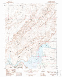
1987 Map of Mikes Mesa
USGS Topo · Published 1987About this map
Lake Powell dominates the southern landscape of this 1980s canyonland survey, where the rising waters met the ancient course of the San Juan River. This transition point is marked by the Clay Hills Crossing, a traditional river access point now influenced by the reservoir's reach within the Glen Canyon National Recreation Area. To the south, the boundary of the Navajo Indian Reservation follows the river's path, separating tribal lands from the complex topography of the Clay Hills and Red House Cliffs. The map illustrates a high-desert environment defined by drainage systems like Mikes Canyon and Castle Canyon that carve through Mikes Mesa. Rare water sources, such as Rock Spring, are noted amidst the high relief, providing critical context for the cattle ranching and exploration history of San Juan County.
Find a feature on this map
14 named features on this map. Tap any name to fly to it.
Don’t see what you’re looking for? This feature index may not catch every label — zoom into the map to look around manually.
Map Details
Editions of this 1987 Mikes Mesa Map
2 editions found
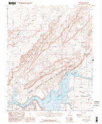
Other maps of this area

1886 · Henry Mountains
USGS Topo · 1:250,000

1892 · Henry Mountains
USGS Topo · 1:250,000

1952 · Clay Hills 3 NW
USGS Topo · 1:24,000

1952 · Navajo Mountain 4 NE
USGS Topo · 1:24,000

1952 · Oljeto
USGS Topo · 1:62,500

1953 · Lake Canyon
USGS Topo · 1:62,500

1953 · No Mans Mesa
USGS Topo · 1:62,500

1954 · Clay Hills 2 SW
USGS Topo · 1:24,000

1954 · Clay Hills 2 NW
USGS Topo · 1:24,000
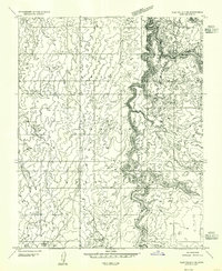
1954 · Clay Hills 3 NE
USGS Topo · 1:24,000