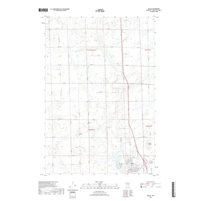
2019 Map of Milaca
USGS Topo · Published 2019About this map
The Rum River meanders southward through this portion of Mille Lacs County, serving as the primary drainage for a landscape defined by numerous tributaries. The town of Milaca anchors the southeastern corner, where the street grid expands near the riverbanks. This 2019 survey documents a rural and agricultural environment punctuated by several local burial grounds, including Chase Brook Cem in the center of the quadrangle and Saint Marys Cem on the eastern edge of town. The Milaca Municipal Airport occupies the plateau just north of the residential center, while the surrounding countryside is partitioned by a network of numbered section roads. Water is a constant presence here, with Tibbetts Brook, Stony Brook, and Chase Brook feeding into the main river system. The map provides a precise look at the modern land use patterns, from the concentrated development in Milaca to the expansive wetlands and woodlots of the northern townships.
Find a feature on this map
46 named features on this map. Tap any name to fly to it.
Don’t see what you’re looking for? This feature index may not catch every label — zoom into the map to look around manually.
Map Details
Editions of this 2019 Milaca Map
This is the sole edition of this map. No revisions or reprints were ever made.
Other maps of this area

1953 · Stillwater
USGS Topo · 1:250,000

1955 · Stillwater
USGS Topo · 1:250,000

1958 · Stillwater
USGS Topo · 1:250,000

1965 · Stillwater
USGS Topo · 1:250,000

1968 · Ramey NE
USGS Topo · 1:24,000

1968 · Milaca NE
USGS Topo · 1:24,000

1968 · Rum River
USGS Topo · 1:24,000

1968 · Milaca
USGS Topo · 1:24,000
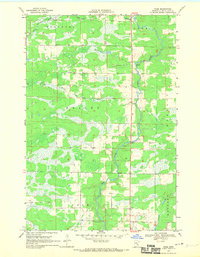
1968 · Page
USGS Topo · 1:24,000
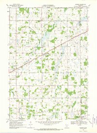
1968 · Ronneby
USGS Topo · 1:24,000