
1968 Map of Milaca
USGS Topo · Published 1970About this map
The Rum River carves a winding path through this central Minnesota landscape, where the city of Milaca serves as the primary hub at the junction of the Great Northern railroad and the West Branch Rum River. The area's mid-century rural character is defined by a network of drainage brooks, including Tibbetts Brook, Whitney Brook, and Stony Brook, which support a landscape of wetlands and timber.
Find a feature on this map
24 named features on this map. Tap any name to fly to it.
Don’t see what you’re looking for? This feature index may not catch every label — zoom into the map to look around manually.
Map Details
Editions of this 1968 Milaca Map
This is the sole edition of this map. No revisions or reprints were ever made.
Other maps of this area

1953 · Stillwater
USGS Topo · 1:250,000

1955 · Stillwater
USGS Topo · 1:250,000

1958 · Stillwater
USGS Topo · 1:250,000

1965 · Stillwater
USGS Topo · 1:250,000

1968 · Ramey NE
USGS Topo · 1:24,000

1968 · Milaca NE
USGS Topo · 1:24,000

1968 · Rum River
USGS Topo · 1:24,000
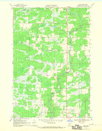
1968 · Page
USGS Topo · 1:24,000
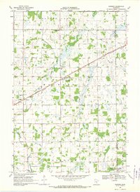
1968 · Ronneby
USGS Topo · 1:24,000
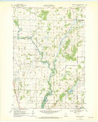
1968 · Princeton NE
USGS Topo · 1:24,000