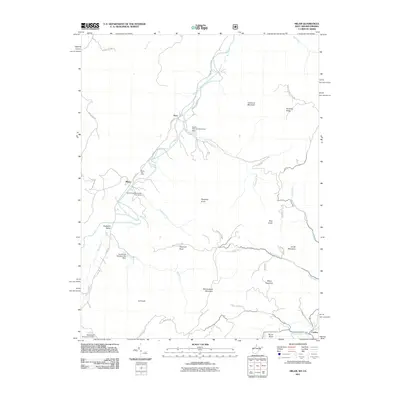
2011 Map of Milam
USGS Topo · Published 2011About this map
The South Fork South Branch Potomac River winds through this section of the Potomac Highlands, where small communities like Milam and Peru are situated along the valley floor. The 2011 survey documents a landscape of high ridges and narrow agricultural valleys, anchored by the Milam Post Office and the small settlement of Criders to the southeast. The terrain is defined by prominent peaks including Shenandoah Mountain and Foremost Mountain, which flank the river corridor.
Find a feature on this map
44 named features on this map. Tap any name to fly to it.
Don’t see what you’re looking for? This feature index may not catch every label — zoom into the map to look around manually.
Map Details
Editions of this 2011 Milam Map
This is the sole edition of this map. No revisions or reprints were ever made.
Other maps of this area

1892 · Franklin
USGS Topo · 1:125,000

1892 · Woodstock
USGS Topo · 1:125,000

1896 · Franklin
USGS Topo · 1:125,000

1920 · Petersburg
USGS Topo · 1:48,000

1921 · Orkney Springs
USGS Topo · 1:48,000

1921 · Petersburg
USGS Topo · 1:48,000

1922 · Fort Seybert
USGS Topo · 1:48,000

1922 · Petersburg
USGS Topo · 1:62,500

1923 · Orkney Springs
USGS Topo · 1:62,500

1924 · Fort Seybert
USGS Topo · 1:62,500