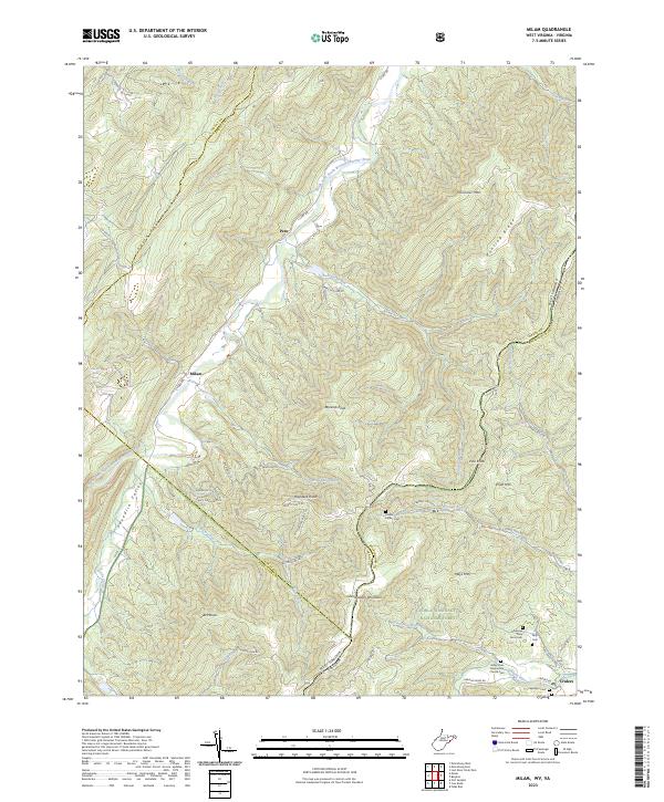
2023 Map of Milam
USGS Topo · Published 2023About this map
The South Fork South Branch Potomac River carves a deep path through this section of the Potomac Highlands, defining the settlement patterns of Peru and Milam. The landscape is dominated by massive ridges including South Fork Mountain and Shenandoah Mountain, where much of the terrain is protected within the George Washington National Forest. Small family settlements and agricultural pockets are found in the lowlands, particularly near the Sweedlin Valley and the banks of Waterfall Run. Local history is preserved in scattered family burial grounds like the George May Farm Cem and Corbin Snyder Cem. The map illustrates a contemporary rural landscape where established mountain roads like Co Rte 3 connect isolated valleys. Near the southern border, the Valley View Mennonite Church and the community of Criders mark a transition toward the Shenandoah Valley system.
Find a feature on this map
62 named features on this map. Tap any name to fly to it.
Don’t see what you’re looking for? This feature index may not catch every label — zoom into the map to look around manually.
Map Details
Editions of this 2023 Milam Map
This is the sole edition of this map. No revisions or reprints were ever made.
Other maps of this area

1892 · Franklin
USGS Topo · 1:125,000

1892 · Woodstock
USGS Topo · 1:125,000

1896 · Franklin
USGS Topo · 1:125,000

1920 · Petersburg
USGS Topo · 1:48,000

1921 · Orkney Springs
USGS Topo · 1:48,000

1921 · Petersburg
USGS Topo · 1:48,000

1922 · Fort Seybert
USGS Topo · 1:48,000

1922 · Petersburg
USGS Topo · 1:62,500

1923 · Orkney Springs
USGS Topo · 1:62,500

1924 · Fort Seybert
USGS Topo · 1:62,500