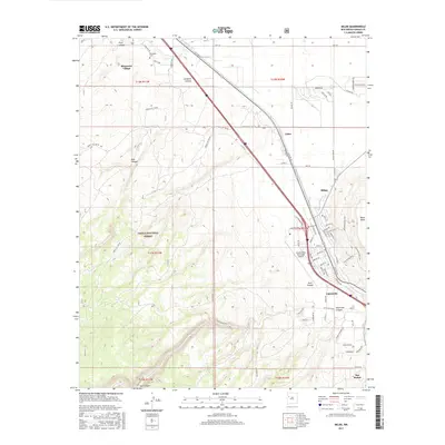
2017 Map of Milan
USGS Topo · Published 2017About this map
Grants and Milan anchor this corridor of west-central New Mexico, where the historic route of HST-Rte 66 and Interstate 40 run parallel to the Rio San Jose. The landscape is defined by the transition from the high desert floor to the elevated reaches of the Cibola National Forest, marked by numerous drainage features like Zuni Canyon and Pole Canyon. Settlement patterns follow the transportation spine, connecting established communities such as Bluewater Village and the smaller locality of Toltec. Local infrastructure, including the Grants-Milan Municipal Airport and irrigation features like Middle Ditch, illustrates the intersection of mid-century aviation and traditional water management. Further south, the map reaches toward San Rafael, while the eastern edge is dominated by the looming profile of Black Mesa, providing a clear record of the geographic and civic development of this high-altitude region.
Find a feature on this map
75 named features on this map. Tap any name to fly to it.
Don’t see what you’re looking for? This feature index may not catch every label — zoom into the map to look around manually.
Map Details
Editions of this 2017 Milan Map
This is the sole edition of this map. No revisions or reprints were ever made.
Other maps of this area

1883 · Mt. Taylor
USGS Topo · 1:250,000

1886 · Wingate
USGS Topo · 1:250,000

1886 · Mt. Taylor
USGS Topo · 1:250,000

1892 · Wingate
USGS Topo · 1:250,000

1892 · Mt. Taylor
USGS Topo · 1:250,000

1899 · Mt. Taylor
USGS Topo · 1:250,000

1951 · Mt Sedgwick
USGS Topo · 1:24,000

1952 · Paxton Springs
USGS Topo · 1:24,000

1954 · Gallup
USGS Topo · 1:250,000

1957 · San Rafael
USGS Topo · 1:24,000