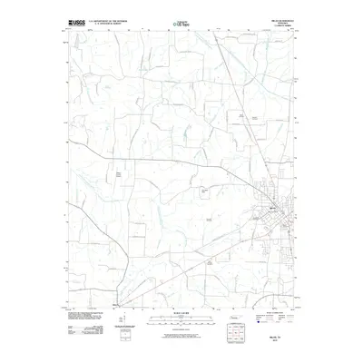
2010 Map of Milan
USGS Topo · Published 2010About this map
Milan serves as the primary urban center in this 2010 survey of West Tennessee, where the Milan Post Office and local burial grounds like Cloverdale Cemetery and Milan Cemetery anchor the community's modern footprint. The landscape is defined by its complex drainage systems, featuring the Rutherford Fork Obion River in the north and the North Fork Forked Deer River snaking through the center. These waterways, along with numerous branches like Hog Creek and Mayo Branch, dictate the agricultural and residential boundaries of the county.
Find a feature on this map
81 named features on this map. Tap any name to fly to it.
Don’t see what you’re looking for? This feature index may not catch every label — zoom into the map to look around manually.
Map Details
Editions of this 2010 Milan Map
This is the sole edition of this map. No revisions or reprints were ever made.
Other maps of this area

1951 · Trenton
USGS Topo · 1:24,000

1952 · Milan
USGS Topo · 1:24,000

1953 · Dyer
USGS Topo · 1:24,000

1954 · Bradford
USGS Topo · 1:24,000

1956 · Dyersburg
USGS Topo · 1:250,000

1956 · Blytheville
USGS Topo · 1:250,000

1959 · Medina
USGS Topo · 1:24,000

1959 · Blytheville
USGS Topo · 1:250,000

1959 · Humboldt
USGS Topo · 1:24,000

1966 · Spring Creek
USGS Topo · 1:24,000