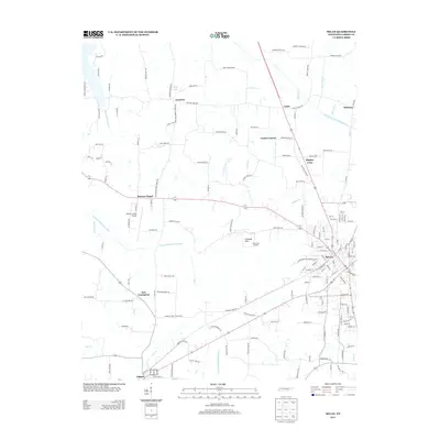
2013 Map of Milan
USGS Topo · Published 2013About this map
Milan serves as the primary urban center for this portion of West Tennessee, where a network of highways and local roads converges among the headwaters of the N Fork Forked Deer River. The landscape is defined by its small, distributed rural communities such as Concord, Cades, and Union Central, which are linked by namesake corridors like Concord Moores Chapel Rd. These settlements often sit near the numerous creek systems draining the region, including Flippen Cr, Mayo Br, and Hog Cr. In the southwest, the town of Gibson anchors the lower portion of the sheet, while infrastructure such as the Gibson County Airport and the Milan City Landfill at Caraway Hills reflects the modern development of the county. The area’s hydrological character is marked by the winding course of the Rutherford Fork Obion River in the northeast, illustrating the river-and-road economy that has long shaped the development of Gibson County.
Find a feature on this map
156 named features on this map. Tap any name to fly to it.
Don’t see what you’re looking for? This feature index may not catch every label — zoom into the map to look around manually.
Map Details
Editions of this 2013 Milan Map
This is the sole edition of this map. No revisions or reprints were ever made.
Other maps of this area

1951 · Trenton
USGS Topo · 1:24,000

1952 · Milan
USGS Topo · 1:24,000

1953 · Dyer
USGS Topo · 1:24,000

1954 · Bradford
USGS Topo · 1:24,000

1956 · Dyersburg
USGS Topo · 1:250,000

1956 · Blytheville
USGS Topo · 1:250,000

1959 · Medina
USGS Topo · 1:24,000

1959 · Blytheville
USGS Topo · 1:250,000

1959 · Humboldt
USGS Topo · 1:24,000

1966 · Spring Creek
USGS Topo · 1:24,000