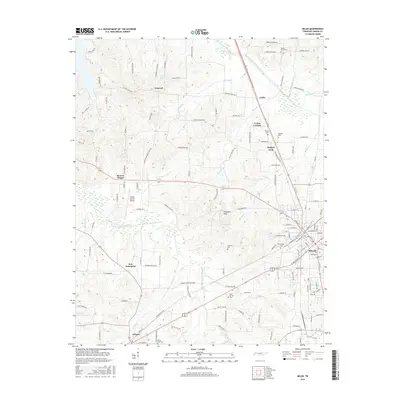
2016 Map of Milan
USGS Topo · Published 2016About this map
Milan and the neighboring town of Gibson anchor this portion of West Tennessee, where the landscape is defined by the headwaters and tributaries of the Obion and Forked Deer river systems. The town of Milan sits as a regional crossroads, while smaller hamlets like Cades, Union Central, and New Enterprise are scattered throughout the agricultural hinterland. The terrain transitions into the Caraway Hills, providing topographical relief between the drainage of the North Fork Forked Deer River and the Rutherford Fork Obion River to the north. Notable local landmarks like the Gibson County Airport and Moores Chapel stand alongside numerous family and community burial grounds, such as Martin Cem and Walnut Grove Cem. The map reveals a dense network of rural roads connecting isolated settlements like Concord and Hughes Loop, illustrating the enduring spatial patterns of this farming and transit-oriented corridor.
Find a feature on this map
140 named features on this map. Tap any name to fly to it.
Don’t see what you’re looking for? This feature index may not catch every label — zoom into the map to look around manually.
Map Details
Editions of this 2016 Milan Map
This is the sole edition of this map. No revisions or reprints were ever made.
Other maps of this area

1951 · Trenton
USGS Topo · 1:24,000

1952 · Milan
USGS Topo · 1:24,000

1953 · Dyer
USGS Topo · 1:24,000

1954 · Bradford
USGS Topo · 1:24,000

1956 · Dyersburg
USGS Topo · 1:250,000

1956 · Blytheville
USGS Topo · 1:250,000

1959 · Medina
USGS Topo · 1:24,000

1959 · Blytheville
USGS Topo · 1:250,000

1959 · Humboldt
USGS Topo · 1:24,000

1966 · Spring Creek
USGS Topo · 1:24,000