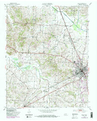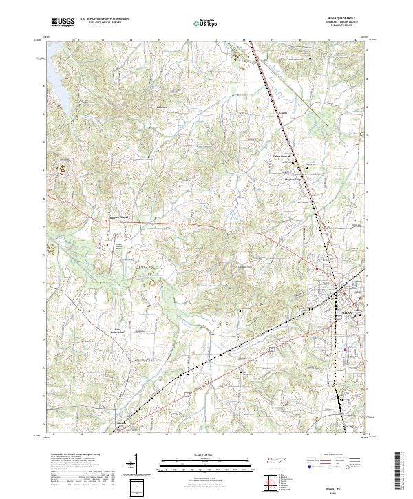
2022 Map of Milan
USGS Topo · Published 2022About this map
Milan and Gibson serve as the primary urban anchors in this portion of Gibson County, where the Tennessee landscape is defined by the drainage basins of the Rutherford Fork-Obion River and the N Fork Forked Deer River. The distribution of rural communities like Concord, Union Central, and Cades reflects a longstanding agricultural pattern, interconnected by a dense network of local roads such as Concord Cades Rd and Cades Atwood Rd. Genealogy and local history are well-preserved through numerous burial grounds, including the Walnut Grove Methodist Church Cem and Cloverdale Cem. The area’s modern infrastructure is highlighted by the Gibson County Airport, situated near Moores Chapel, while the natural topography is marked by smaller waterways like Hog Creek and Flippen Creek that weave between the small settlements and rising elevations of the Caraway Hills.
Find a feature on this map
142 named features on this map. Tap any name to fly to it.
Don’t see what you’re looking for? This feature index may not catch every label — zoom into the map to look around manually.
Map Details
Editions of this 2022 Milan Map
This is the sole edition of this map. No revisions or reprints were ever made.