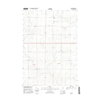
2015 Map of Milan
USGS Topo · Published 2015About this map
The settlement of Milan sits at the northern end of this Marathon County landscape, where dairy farming and rural industry traditionally define the region. The topography is dominated by the winding course of the Big Eau Pleine River and its tributaries, including Marsh Cr and Randall Cr. Local history is anchored by several long-standing community sites, notably the Saint Thomas Cem and Bethlehem Cem located just north of the village. Further south, the community of Cherokee marks an important crossroads near the riverbanks. The survey shows a dense grid of township roads named for the flora and early families of the area, such as Elderberry RD, Blueberry RD, and Bruckerville Ave. This 2015 edition provides a detailed look at the rural property divisions and the Town Hall that serves as a civic center for local residents.
Find a feature on this map
36 named features on this map. Tap any name to fly to it.
Don’t see what you’re looking for? This feature index may not catch every label — zoom into the map to look around manually.
Map Details
Editions of this 2015 Milan Map
This is the sole edition of this map. No revisions or reprints were ever made.
Other maps of this area

1902 · Marathon
USGS Topo · 1:125,000

1951 · Athens
USGS Topo · 1:48,000

1951 · Medford
USGS Topo · 1:48,000

1953 · Abbotsford
USGS Topo · 1:48,000

1953 · Stratford
USGS Topo · 1:48,000

1953 · Eau Claire
USGS Topo · 1:250,000

1953 · Rice Lake
USGS Topo · 1:250,000

1958 · Eau Claire
USGS Topo · 1:250,000

1959 · Rice Lake
USGS Topo · 1:250,000

1963 · Stratford
USGS Topo · 1:62,500