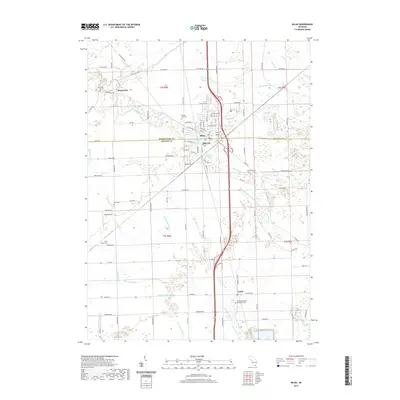
2019 Map of Milan
USGS Topo · Published 2019About this map
The Saline River cuts through the heart of this landscape, anchoring the city of Milan as it straddles the Washtenaw and Monroe County line. This 2019 survey captures a transition from the structured residential blocks of the city center to the sprawling agricultural fields of York Charter Township. To the north, the small settlement of Mooreville sits near Stony Creek, while the southern reaches of the map feature the rural community of Azalia.
Find a feature on this map
58 named features on this map. Tap any name to fly to it.
Don’t see what you’re looking for? This feature index may not catch every label — zoom into the map to look around manually.
Map Details
Editions of this 2019 Milan Map
This is the sole edition of this map. No revisions or reprints were ever made.
Other maps of this area

1902 · Ypsilanti
USGS Topo · 1:62,500

1904 · Ann Arbor
USGS Topo · 1:125,000

1906 · Ypsilanti
USGS Topo · 1:62,500

1906 · Saline
USGS Topo · 1:62,500

1908 · Ann Arbor
USGS Topo · 1:125,000

1912 · Dundee
USGS Topo · 1:62,500

1926 · Dundee
USGS Topo · 1:62,500
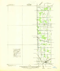
1936 · Maybee
USGS Topo · 1:31,680
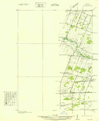
1936 · Ida
USGS Topo · 1:31,680
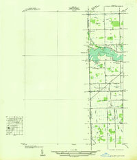
1936 · Ypsilanti East
USGS Topo · 1:31,680