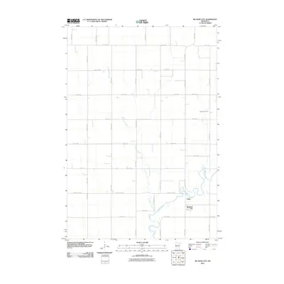
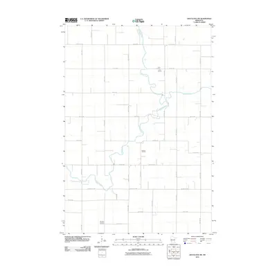
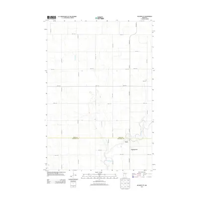
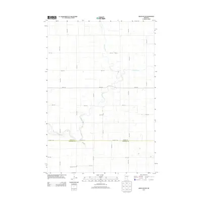
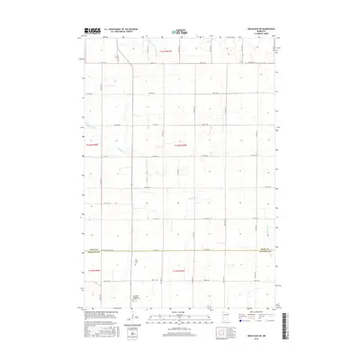
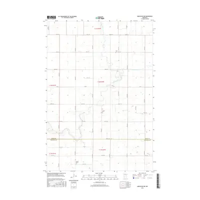
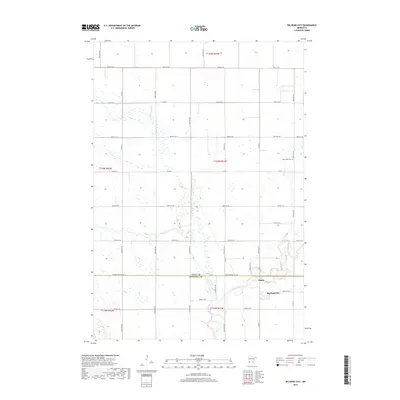
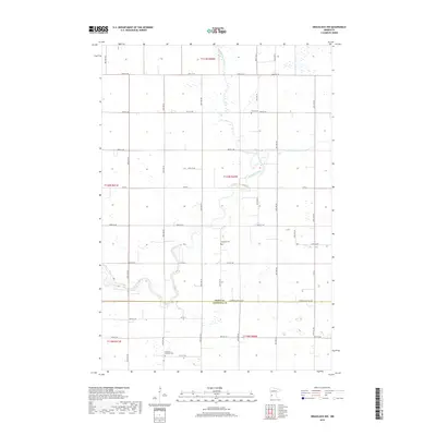
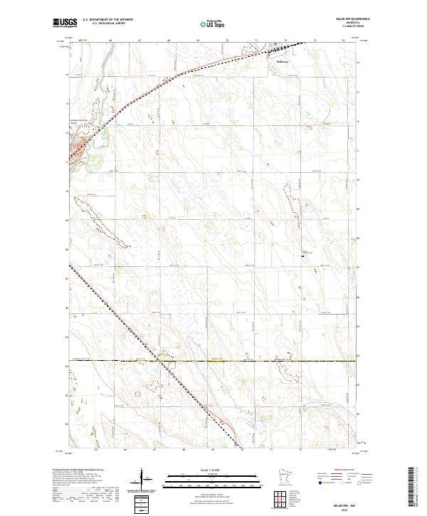
1958 Map of Milan NW
USGS Topo · Published 1959About this map
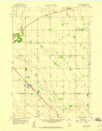
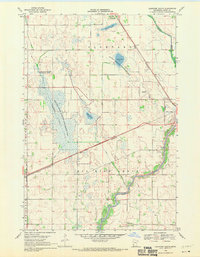
The Pomme de Terre River winds through the western edge of this 1950s agrarian landscape, defining the topography where the townships of Shible, Moyer, and Appleton converge. The village of Holloway serves as a northern anchor, situated along the Great Northern rail line, which cuts diagonally across the prairie. This map captures a rural education network before district consolidation, preserved through landmarks like School No 2186 and School No 2232.
Find a feature on this map
17 named features on this map. Tap any name to fly to it.
Don’t see what you’re looking for? This feature index may not catch every label — zoom into the map to look around manually.
Map Details
Editions of this 1958 Milan NW Map
This is the sole edition of this map. No revisions or reprints were ever made.
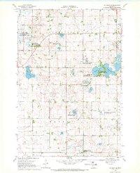
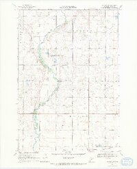
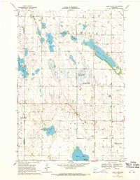
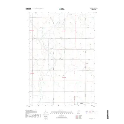
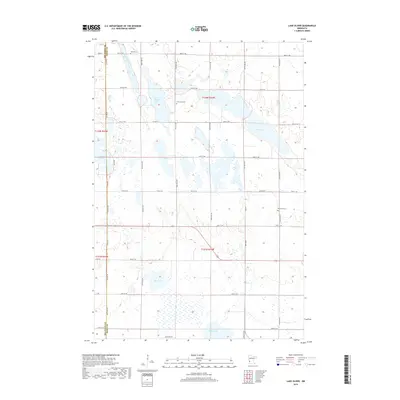
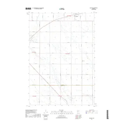
Historical Maps of Holloway Through Time
48 maps found
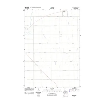
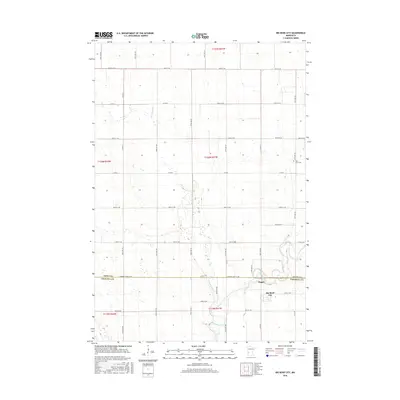
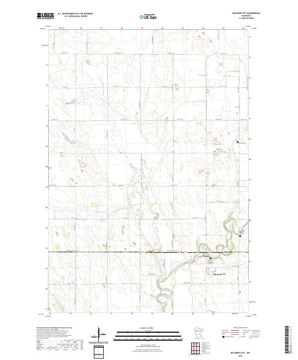
1958 Big Bend City
Swift County, MN
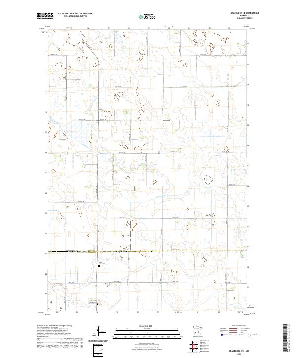
1958 Gracelock NE
Swift County, MN
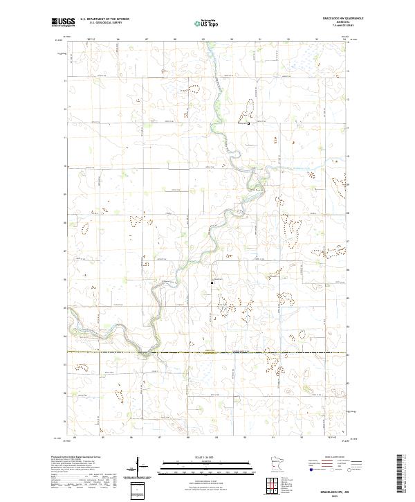
1958 Gracelock NW
Swift County, MN
1958 Milan NW
Swift County, MN
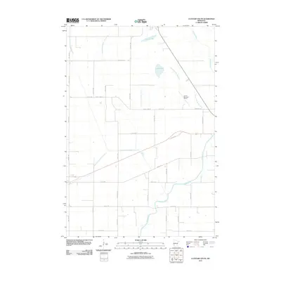
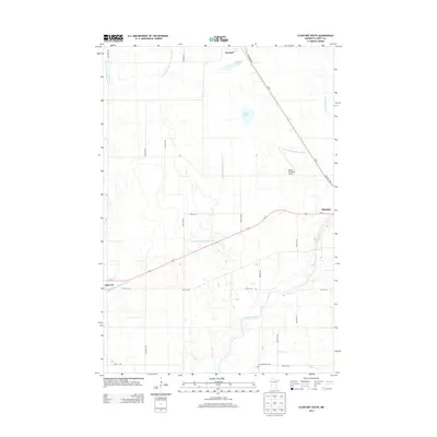
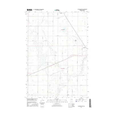
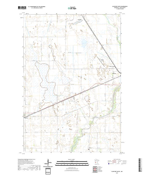
1968 Clontarf South
Swift County, MN
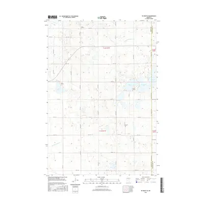
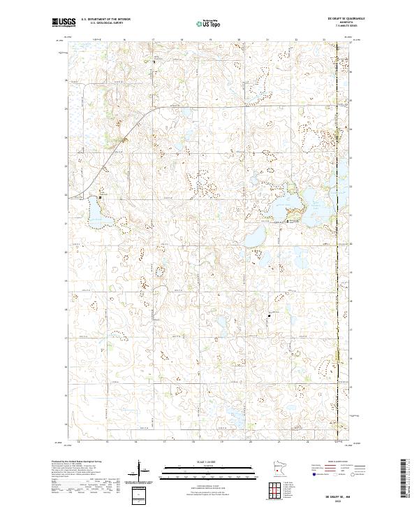
1968 De Graff SE
Swift County, MN
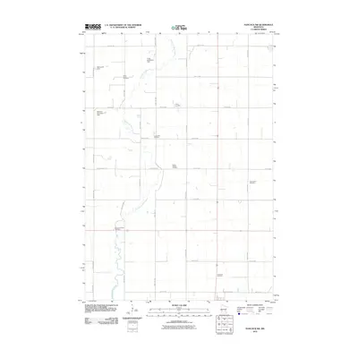
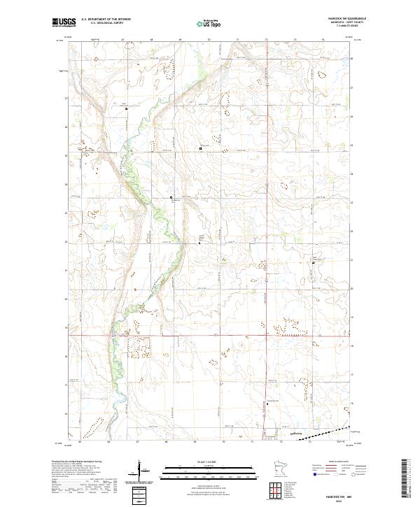
1968 Hancock SW
Swift County, MN
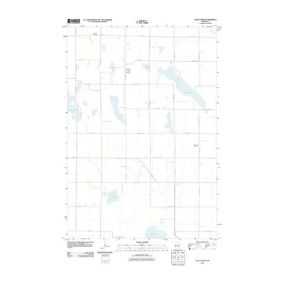
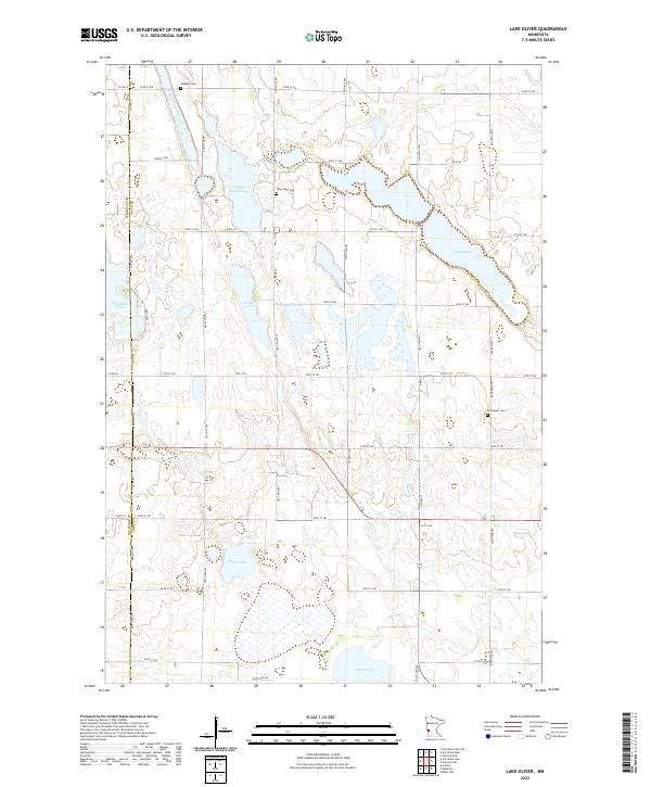
1968 Lake Oliver
Swift County, MN
2010 Big Bend City
Swift County, MN
2010 Clontarf South
Swift County, MN
2010 De Graff SE
Swift County, MN
2010 Gracelock NE
Swift County, MN
2010 Gracelock NW
Swift County, MN
2010 Hancock SW
Swift County, MN
2010 Lake Oliver
Swift County, MN
2010 Milan NW
Swift County, MN
2013 Big Bend City
Swift County, MN
2013 Clontarf South
Swift County, MN
2013 De Graff SE
Swift County, MN
2013 Gracelock NE
Swift County, MN
2013 Gracelock NW
Swift County, MN
2013 Hancock SW
Swift County, MN
2013 Lake Oliver
Swift County, MN
2013 Milan NW
Swift County, MN
2016 Big Bend City
Swift County, MN
2016 Clontarf South
Swift County, MN
2016 De Graff SE
Swift County, MN
2016 Gracelock NE
Swift County, MN
2016 Gracelock NW
Swift County, MN
2016 Hancock SW
Swift County, MN
2016 Lake Oliver
Swift County, MN
2016 Milan NW
Swift County, MN
2019 Big Bend City
Swift County, MN
2019 Clontarf South
Swift County, MN
2019 De Graff SE
Swift County, MN
2019 Gracelock NE
Swift County, MN
2019 Gracelock NW
Swift County, MN
2019 Hancock SW
Swift County, MN
2019 Lake Oliver
Swift County, MN
2019 Milan NW
Swift County, MN
2022 Big Bend City
Swift County, MN
2022 Clontarf South
Swift County, MN
2022 De Graff SE
Swift County, MN
2022 Gracelock NE
Swift County, MN
2022 Gracelock NW
Swift County, MN
2022 Hancock SW
Swift County, MN
2022 Lake Oliver
Swift County, MN
2022 Milan NW
Swift County, MN