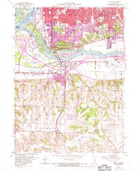
1953 Map of Milan
USGS Topo · Published 1971About this map
The Mississippi River and Rock River define the industrial and recreational landscape of this region during the mid-20th century. Urban expansion from Rock Island and Moline pushes southward toward Milan, with the 1970 photorevision highlighting new residential developments in purple. The map details a complex waterway network including the Hennepin Canal and numerous islands like Vandruff Island and Indian Island. Beyond the city limits, the terrain shifts into the rural townships of Black Hawk, Bowling, and Rural. This area is characterized by a high density of civic institutions, including Chippiannock Cemetery and more than a dozen local schools such as Denkman School and John Deere Jr High Sch. The presence of the Quad City Airport and the Chicago Rock Island and Pacific railroad line underscores the importance of this hub for regional transportation and commerce.
Find a feature on this map
80 named features on this map. Tap any name to fly to it.
Don’t see what you’re looking for? This feature index may not catch every label — zoom into the map to look around manually.
Map Details
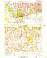
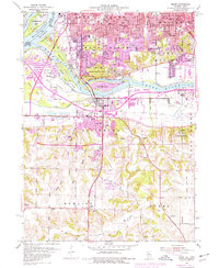
Editions of this 1953 Milan Map
3 editions found
Other maps of this area

1891 · Davenport
USGS Topo · 1:62,500

1892 · Leclaire
USGS Topo · 1:62,500

1893 · Leclaire
USGS Topo · 1:62,500

1894 · Davenport
USGS Topo · 1:62,500

1899 · Clinton
USGS Topo · 1:125,000

1901 · Rock Island
USGS Topo · 1:125,000

1910 · Rock Island
USGS Topo · 1:125,000

1912 · Milan
USGS Topo · 1:62,500

1937 · Orion
USGS Topo · 1:62,500

1944 · Milan
USGS Topo · 1:62,500