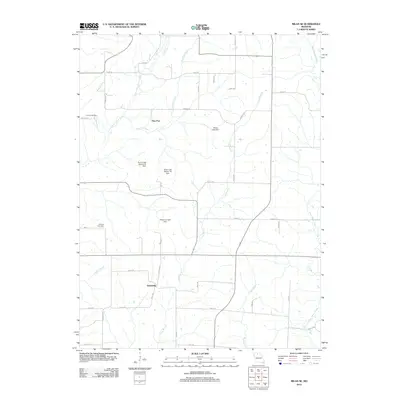
2012 Map of Milan SE
USGS Topo · Published 2012About this map
Enterprise and Paw Paw define the residential character of this Linn County landscape, where agriculture and water management intersect. The terrain is marked by a network of drainage systems, including Little East Locust Creek and West Yellow Creek, which are supported by numerous small-scale reservoirs and dams. These include the Maher Lake Dam, Meservey Lake Dam, and the Taylor Lake Section 19 Dam, reflecting the region's reliance on managed water resources for local land use.
Find a feature on this map
42 named features on this map. Tap any name to fly to it.
Don’t see what you’re looking for? This feature index may not catch every label — zoom into the map to look around manually.
Map Details
Editions of this 2012 Milan SE Map
This is the sole edition of this map. No revisions or reprints were ever made.
Other maps of this area

1946 · Brookfield
USGS Topo · 1:62,500

1948 · Brookfield
USGS Topo · 1:62,500

1949 · Bucklin NW
USGS Topo · 1:24,000

1950 · Bucklin NW
USGS Topo · 1:24,000

1953 · Moberly
USGS Topo · 1:250,000

1954 · Centerville
USGS Topo · 1:250,000

1954 · Moberly
USGS Topo · 1:250,000

1957 · Moberly
USGS Topo · 1:250,000

1957 · Centerville
USGS Topo · 1:250,000

1958 · Centerville
USGS Topo · 1:250,000