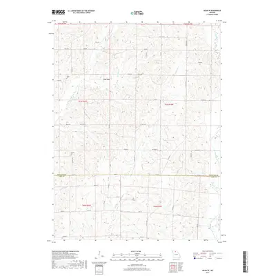
2017 Map of Milan SE
USGS Topo · Published 2017About this map
Paw Paw and the surrounding drainage of the Locust Creek watershed define this northern Missouri landscape during the late 2010s. The map illustrates a rural environment shaped by natural watercourses like Little Locust Cr and Paw Paw Cr, which snake through the varied terrain of the Sullivan and Linn County border. This boundary, marked as Sullivan Co Linn Co, bisects the region just south of the local landmark Knifong Cem.
Find a feature on this map
42 named features on this map. Tap any name to fly to it.
Don’t see what you’re looking for? This feature index may not catch every label — zoom into the map to look around manually.
Map Details
Editions of this 2017 Milan SE Map
This is the sole edition of this map. No revisions or reprints were ever made.
Other maps of this area

1946 · Brookfield
USGS Topo · 1:62,500

1948 · Brookfield
USGS Topo · 1:62,500

1949 · Bucklin NW
USGS Topo · 1:24,000

1950 · Bucklin NW
USGS Topo · 1:24,000

1953 · Moberly
USGS Topo · 1:250,000

1954 · Centerville
USGS Topo · 1:250,000

1954 · Moberly
USGS Topo · 1:250,000

1957 · Moberly
USGS Topo · 1:250,000

1957 · Centerville
USGS Topo · 1:250,000

1958 · Centerville
USGS Topo · 1:250,000