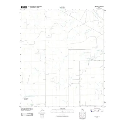
2010 Map of Miles NW
USGS Topo · Published 2010About this map
Mount Victory Cemetery sits along the northern edge of this landscape in Tom Green County, marking a quiet point of local history amidst a web of rural roads. The terrain is defined by its drainage towards the Colorado River in the northeast, with Antelope Creek, Red Bank Creek, and Little Concho Creek carving winding paths across the ranchlands. These intermittent waterways and small reservoirs reflect the regional reliance on managed water resources in West Texas. To the east, the Baca Lake Dam creates Baca Lake, while the southwest corner features the Soil Conservation Service Site Number 1 Reservoir. A grid of farm-to-market and county roads, such as FM 2333 and FM 2872, connects scattered homesteads and ranches, illustrating the enduring agricultural character of the territory near the turn of the 21st century.
Find a feature on this map
27 named features on this map. Tap any name to fly to it.
Don’t see what you’re looking for? This feature index may not catch every label — zoom into the map to look around manually.
Map Details
Editions of this 2010 Miles NW Map
This is the sole edition of this map. No revisions or reprints were ever made.
Other maps of this area

1891 · Hayrick
USGS Topo · 1:125,000

1894 · Hayrick
USGS Topo · 1:125,000

1921 · Baker Flat
USGS Topo · 1:31,680

1921 · Lowake
USGS Topo · 1:31,680

1921 · Maverick
USGS Topo · 1:31,680

1921 · Quarry Creek
USGS Topo · 1:31,680

1921 · Rowena
USGS Topo · 1:31,680

1921 · Mays School
USGS Topo · 1:31,680

1954 · San Angelo
USGS Topo · 1:250,000

1957 · Miles
USGS Topo · 1:62,500