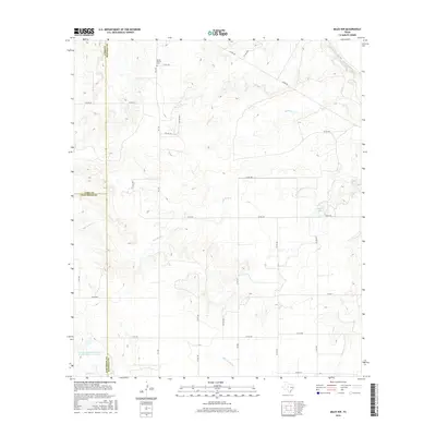
2016 Map of Miles NW
USGS Topo · Published 2016About this map
The Mount Victory Cem sits along FM 2333 in this West Texas landscape, where the borders of Coke, Runnels, and Tom Green counties converge. The terrain is defined by a dendritic drainage pattern feeding into the Colorado River in the northeast and the Little Concho Cr to the south. Significant water management is evident at the Soil Conservation Service Site Number 1 Reservoir and Baca Lake, reflecting the region's agricultural infrastructure. A network of rural routes including Co Rd 287, Co Rd 393, and FM 2872 connects various homesteads and ranch lands, tracing the late-twentieth-century development of this ranching country. The presence of Red Bank Cr and Antelope Cr further illustrates the natural hydrology that has historically dictated settlement patterns and land use in this tri-county corner.
Find a feature on this map
33 named features on this map. Tap any name to fly to it.
Don’t see what you’re looking for? This feature index may not catch every label — zoom into the map to look around manually.
Map Details
Editions of this 2016 Miles NW Map
This is the sole edition of this map. No revisions or reprints were ever made.
Other maps of this area

1891 · Hayrick
USGS Topo · 1:125,000

1894 · Hayrick
USGS Topo · 1:125,000

1921 · Baker Flat
USGS Topo · 1:31,680

1921 · Lowake
USGS Topo · 1:31,680

1921 · Maverick
USGS Topo · 1:31,680

1921 · Quarry Creek
USGS Topo · 1:31,680

1921 · Rowena
USGS Topo · 1:31,680

1921 · Mays School
USGS Topo · 1:31,680

1954 · San Angelo
USGS Topo · 1:250,000

1957 · Miles
USGS Topo · 1:62,500