2019 Map of Miles NW
USGS Topo · Published 2019About this map
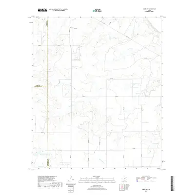
The Colorado River winds through the northeast corner of this West Texas landscape, where the borders of Coke, Runnels, and Tom Green counties converge. This area is defined by a network of seasonal drainages, including Antelope Cr and Red Bank Cr, which carve through the terrain toward larger water bodies. One of the few designated landmarks of genealogical interest is Mount Victory Cem, situated along FM 2333. The map also documents modern land management and water infrastructure, such as the Soil Conservation Service Site Number 1 Reservoir and Baca Lake. The road system is a mix of state farm-to-market routes and numerous numbered county and private roads like Co RD 287 and PVT RD 3922, reflecting the rural, agricultural nature of the region in the early twenty-first century.
Find a feature on this map
33 named features on this map. Tap any name to fly to it.
Don’t see what you’re looking for? This feature index may not catch every label — zoom into the map to look around manually.
Map Details
Editions of this 2019 Miles NW Map
This is the sole edition of this map. No revisions or reprints were ever made.
Other maps of this area

1891 · Hayrick
USGS Topo · 1:125,000

1894 · Hayrick
USGS Topo · 1:125,000

1921 · Baker Flat
USGS Topo · 1:31,680

1921 · Lowake
USGS Topo · 1:31,680

1921 · Maverick
USGS Topo · 1:31,680

1921 · Quarry Creek
USGS Topo · 1:31,680

1921 · Rowena
USGS Topo · 1:31,680

1921 · Mays School
USGS Topo · 1:31,680

1954 · San Angelo
USGS Topo · 1:250,000

1957 · Miles
USGS Topo · 1:62,500