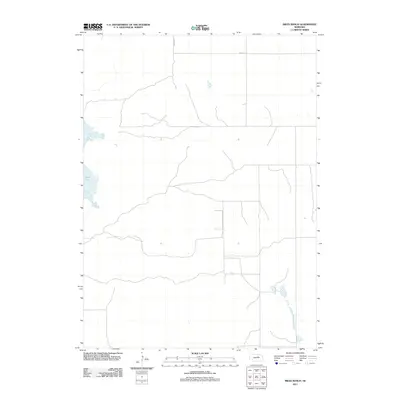
2011 Map of Miles Ranch
USGS Topo · Published 2011About this map
Rush Lake dominates the western portion of this landscape, its irregular shoreline reflecting the unique hydrography of the Nebraska Sandhills. This 2011 survey, produced by the U.S. Geological Survey, documents the sparse rural infrastructure of Holt County. The map area is defined by a grid of section-line roads, including 482nd Ave and 848th Rd, which serve as the primary conduits through this expansive cattle country. The lack of dense settlement or named towns highlights the region's character as a working ranching landscape where natural water features like Rush Lake are the primary landmarks for local navigation and land management.
Find a feature on this map
3 named features on this map. Tap any name to fly to it.
Don’t see what you’re looking for? This feature index may not catch every label — zoom into the map to look around manually.
Map Details
Editions of this 2011 Miles Ranch Map
This is the sole edition of this map. No revisions or reprints were ever made.
Other maps of this area

1954 · Gables NW
USGS Topo · 1:24,000

1954 · Bartlett NW
USGS Topo · 1:24,000

1954 · Gables
USGS Topo · 1:24,000

1955 · Broken Bow
USGS Topo · 1:250,000

1955 · O'Neill
USGS Topo · 1:250,000

1956 · Broken Bow
USGS Topo · 1:250,000

1959 · O'Neill
USGS Topo · 1:250,000

1969 · O'Neill
USGS Topo · 1:250,000

1981 · Amelia
USGS Topo · 1:24,000

1981 · Goose Lake SW
USGS Topo · 1:24,000