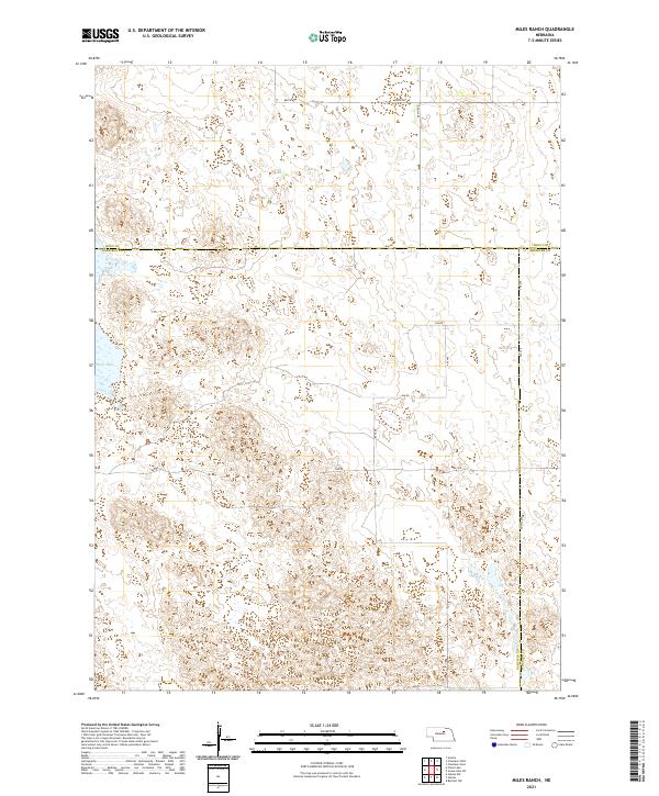
2021 Map of Miles Ranch
USGS Topo · Published 2021About this map
Rush Lake lies within the expansive, undulating landscape where Garfield, Holt, and Wheeler counties meet in the Nebraska Sandhills. This 2021 survey reveals a vast network of wetlands and depressions characteristic of the region's unique hydrology, navigated by a strict grid of section-line roads such as 848th Rd, 485th Ave, and 843 Rd. The absence of dense settlements underscores the area's agricultural and ranching character, where the landscape is primarily defined by its township and range divisions. Local travel is facilitated by corridors like Dumas Ave and 846 Rd, which traverse the varied terrain of T24N and T25N. For those studying the rural infrastructure of central Nebraska, the map provides precise locations for remote crossroads and named water features that have sustained local ranching operations for generations.
Find a feature on this map
22 named features on this map. Tap any name to fly to it.
Don’t see what you’re looking for? This feature index may not catch every label — zoom into the map to look around manually.
Map Details
Editions of this 2021 Miles Ranch Map
This is the sole edition of this map. No revisions or reprints were ever made.
Other maps of this area

1954 · Gables NW
USGS Topo · 1:24,000

1954 · Bartlett NW
USGS Topo · 1:24,000

1954 · Gables
USGS Topo · 1:24,000

1955 · Broken Bow
USGS Topo · 1:250,000

1955 · O'Neill
USGS Topo · 1:250,000

1956 · Broken Bow
USGS Topo · 1:250,000

1959 · O'Neill
USGS Topo · 1:250,000

1969 · O'Neill
USGS Topo · 1:250,000

1981 · Amelia
USGS Topo · 1:24,000

1981 · Goose Lake SW
USGS Topo · 1:24,000