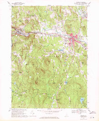
1968 Map of Milford
USGS Topo · Published 1971About this map
The Souhegan River serves as the industrial and logistical spine of this late-1960s landscape, winding through the manufacturing and residential centers of Wilton, Milford, and Amherst. The Boston and Maine railroad tracks parallel the river, reinforcing a transportation corridor that has defined these South Central New Hampshire towns for generations. Beyond the town centers, the terrain rises into prominent heights like Federal Hill and Burns Hill, revealing a mosaic of granite quarries and gravel pits that underscore the local extractive industry.
Find a feature on this map
65 named features on this map. Tap any name to fly to it.
Don’t see what you’re looking for? This feature index may not catch every label — zoom into the map to look around manually.
Map Details
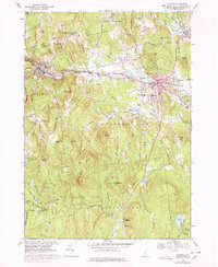
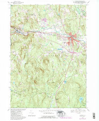
Editions of this 1968 Milford Map
3 editions found
Other maps of this area

1887 · Fitchburg
USGS Topo · 1:62,500

1889 · Fitchburg
USGS Topo · 1:62,500

1893 · Fitchburg
USGS Topo · 1:62,500

1893 · Groton
USGS Topo · 1:62,500

1900 · Peterboro
USGS Topo · 1:62,500

1906 · Milford
USGS Topo · 1:62,500

1931 · Groton
USGS Topo · 1:48,000

1931 · Fitchburg
USGS Topo · 1:48,000

1935 · Groton
USGS Topo · 1:62,500

1935 · Fitchburg
USGS Topo · 1:62,500