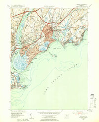
1951 Map of Milford
USGS Topo · Published 1953About this map
The Housatonic River separates the towns of Milford and Stratford as they meet Long Island Sound in this early 1950s survey. The coastal landscape is defined by its recreation and maritime infrastructure, featuring a string of shoreline communities such as Silver Beach, Walnut Beach, and Point Beach. Off the coast, Charles Island sits south of Milford Harbor, while Stratford Point and its U S Coast Guard Station mark the mouth of the river.
Find a feature on this map
89 named features on this map. Tap any name to fly to it.
Don’t see what you’re looking for? This feature index may not catch every label — zoom into the map to look around manually.
Map Details
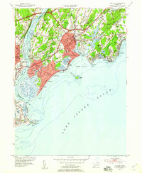
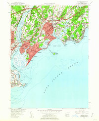
Editions of this 1951 Milford Map
3 editions found
Other maps of this area

1889 · Derby
USGS Topo · 1:62,500

1891 · Bridgeport
USGS Topo · 1:62,500

1891 · Derby
USGS Topo · 1:62,500

1892 · New Haven
USGS Topo · 1:62,500

1893 · Bridgeport
USGS Topo · 1:62,500

1893 · Derby
USGS Topo · 1:62,500

1920 · Bridgeport
USGS Topo · 1:62,500

1921 · New Haven
USGS Topo · 1:62,500

1943 · New Haven
USGS Topo · 1:31,680
1947 · Long Hill
USGS Topo · 1:31,680