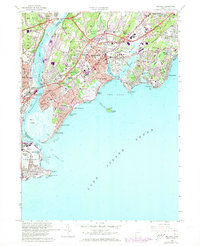
1960 Map of Milford
USGS Topo · Published 1973About this map
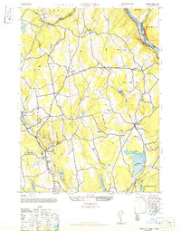
Milford sits at the center of this coastal Connecticut landscape, where the Housatonic River meets Long Island Sound. The map illustrates a dense network of suburban growth and major transportation corridors, including the Connecticut Turnpike and the Penn Central railroad, which bisect the town. Along the shoreline, established beach communities like Silver Beach, Walnut Beach, and Laurel Beach define the local character, while the offshore Charles Island is connected to the mainland by the Bar.
Find a feature on this map
92 named features on this map. Tap any name to fly to it.
Don’t see what you’re looking for? This feature index may not catch every label — zoom into the map to look around manually.
Map Details
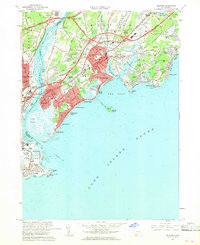
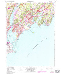
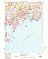
Editions of this 1960 Milford Map
4 editions found
Other maps of this area

1889 · Derby
USGS Topo · 1:62,500

1891 · Bridgeport
USGS Topo · 1:62,500

1891 · Derby
USGS Topo · 1:62,500

1892 · New Haven
USGS Topo · 1:62,500

1893 · Bridgeport
USGS Topo · 1:62,500

1893 · Derby
USGS Topo · 1:62,500

1920 · Bridgeport
USGS Topo · 1:62,500

1921 · New Haven
USGS Topo · 1:62,500

1943 · New Haven
USGS Topo · 1:31,680
1947 · Long Hill
USGS Topo · 1:31,680