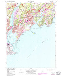
1960 Map of Milford
USGS Topo · Published 1985About this map
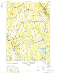
Milford and its surrounding coastal communities are captured here during a period of significant postwar growth, as indicated by the expanding urban tints and the prominence of the Connecticut Toll Road and Governor John Davis Lodge Turnpike. The landscape is a complex intersection of historic sites and mid-century infrastructure, where the Penn Central and Amtrak rail lines cut through neighborhoods such as Devon and Naugatuck Gardens. Along the shoreline, established summer colonies like Wildermere Beach, Myrtle Beach, and Laurel Beach front the Long Island Sound, while Charles Island sits just offshore, connected by a bar. The map detail reflects the area's transition into a major regional hub, balancing industrial markers like the Quarry and Igor Sikorsky Memorial Airport with local institutions such as Kings Highway Cem and several community schools.
Find a feature on this map
100 named features on this map. Tap any name to fly to it.
Don’t see what you’re looking for? This feature index may not catch every label — zoom into the map to look around manually.
Map Details
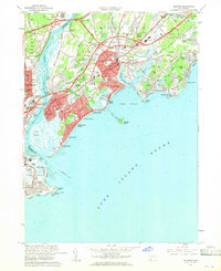
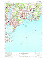
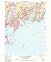
Editions of this 1960 Milford Map
4 editions found
Other maps of this area

1889 · Derby
USGS Topo · 1:62,500

1891 · Bridgeport
USGS Topo · 1:62,500

1891 · Derby
USGS Topo · 1:62,500

1892 · New Haven
USGS Topo · 1:62,500

1893 · Bridgeport
USGS Topo · 1:62,500

1893 · Derby
USGS Topo · 1:62,500

1920 · Bridgeport
USGS Topo · 1:62,500

1921 · New Haven
USGS Topo · 1:62,500

1943 · New Haven
USGS Topo · 1:31,680
1947 · Long Hill
USGS Topo · 1:31,680