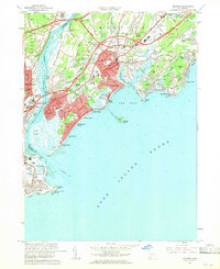
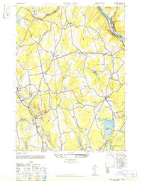
1960 Map of Milford
USGS Topo · Published 1960About this map
The Housatonic River serves as the primary boundary between Stratford and Milford, defining a landscape where coastal living meets postwar infrastructure. Along the shoreline, a string of established beach communities including Myrtle Beach, Walnut Beach, and Laurel Beach look out toward Charles Island and Long Island Sound. The inland character is dominated by the emerging highway network of the mid-century, with the Merritt Parkway, Wilbur Cross Parkway, and Connecticut Turnpike slicing through older settlements.
Find a feature on this map
87 named features on this map. Tap any name to fly to it.
Don’t see what you’re looking for? This feature index may not catch every label — zoom into the map to look around manually.
Map Details
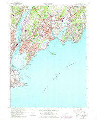
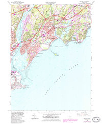
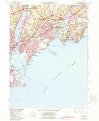
Editions of this 1960 Milford Map
4 editions found
Other maps of this area

1889 · Derby
USGS Topo · 1:62,500

1891 · Bridgeport
USGS Topo · 1:62,500

1891 · Derby
USGS Topo · 1:62,500

1892 · New Haven
USGS Topo · 1:62,500

1893 · Bridgeport
USGS Topo · 1:62,500

1893 · Derby
USGS Topo · 1:62,500

1920 · Bridgeport
USGS Topo · 1:62,500

1921 · New Haven
USGS Topo · 1:62,500

1943 · New Haven
USGS Topo · 1:31,680
1947 · Long Hill
USGS Topo · 1:31,680