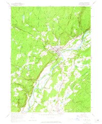
1958 Map of Milford
USGS Topo · Published 1965About this map
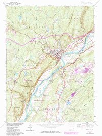
The Delaware River serves as the central artery and state boundary in this 1950s survey, separating the borough of Milford in Pennsylvania from the communities of Montague and Sandyston in New Jersey. The river's path is marked by significant landforms such as Minisink Island and Mashipacong Island, which define the waterway's character before modern adjustments. On the Pennsylvania side, the landscape rises sharply from the riverbank to features like The Knob and The Cliff, while the New Jersey side remains more alluvial toward the Flat.
Find a feature on this map
70 named features on this map. Tap any name to fly to it.
Don’t see what you’re looking for? This feature index may not catch every label — zoom into the map to look around manually.
Map Details
Editions of this 1958 Milford Map
6 editions found
Other maps of this area

1888 · Franklin
USGS Topo · 1:62,500

1891 · Wallpack
USGS Topo · 1:62,500

1893 · Wallpack
USGS Topo · 1:62,500

1894 · Franklin
USGS Topo · 1:62,500

1897 · Franklin
USGS Topo · 1:62,500

1903 · Franklin Furnace
USGS Topo · 1:62,500

1906 · Port Jervis
USGS Topo · 1:62,500

1908 · Port Jervis
USGS Topo · 1:62,500

1913 · Milford
USGS Topo · 1:62,500

1915 · Milford
USGS Topo · 1:62,500
Featured Places
- Montague Township, NJ
- Sandyston Township, NJ
- Abertown, Sandyston Township
- Shaytown, Sandyston Township
- Quinns Corner, Dingman Township