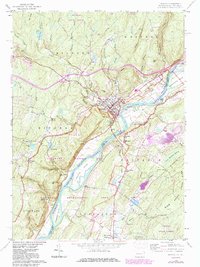
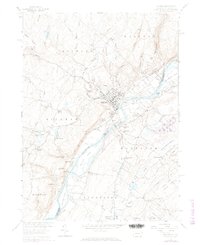
1958 Map of Milford
USGS Topo · Published 1983About this map
The Delaware River dominates this landscape as it flows through the Delaware Water Gap National Recreational Area, separating Pennsylvania and New Jersey. On the Pennsylvania side, the town of Milford serves as a central hub, situated near the dramatic Raymondskill Falls and several tributary streams like Sawkill Creek. The map documents a blend of residential growth and conserved forest land, including the Delaware State Forest and Stokes State Forest.
Find a feature on this map
65 named features on this map. Tap any name to fly to it.
Don’t see what you’re looking for? This feature index may not catch every label — zoom into the map to look around manually.
Map Details
Editions of this 1958 Milford Map
6 editions found
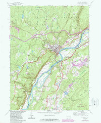
Other maps of this area

1888 · Franklin
USGS Topo · 1:62,500

1891 · Wallpack
USGS Topo · 1:62,500

1893 · Wallpack
USGS Topo · 1:62,500

1894 · Franklin
USGS Topo · 1:62,500

1897 · Franklin
USGS Topo · 1:62,500

1903 · Franklin Furnace
USGS Topo · 1:62,500

1906 · Port Jervis
USGS Topo · 1:62,500

1908 · Port Jervis
USGS Topo · 1:62,500

1913 · Milford
USGS Topo · 1:62,500

1915 · Milford
USGS Topo · 1:62,500
Featured Places
- Montague Township, NJ
- Sandyston Township, NJ
- Abertown, Sandyston Township
- Shaytown, Sandyston Township
- Quinns Corner, Dingman Township